
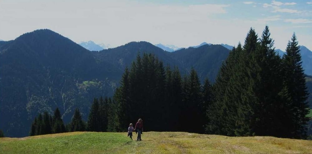

Schöne Familienwanderung. Viel auf weglosem aber ungefährlichem Gelände.
Am Anfang gleich vom Parkplatz sind wir falsch gegangen, hinter dem Gasthof Bergfrieden vorbei.
Bein nächsten mal vorne auf der Straße vorbei und kurz danach nach rechst bergauf abbiegen.
Der Aufstieg bis zur Tschuggenalpe ist teilweise weglos und recht steil aber gut gebar.
Dann geht es flach auf einem Fahrweg zur Alpwegkopfhütte.
Wer möchte kann dort Einkehren.
Von da führt ein steiler Pfad durch den Wald bis nach Schwende.
Von dort erst auf Asphalt bergab, dann auf einem netten Weg fast eben zurück zum Gasthof Bergfrieden.
Achtung, gute Trittsicherheit ist notwendig!
Ich freue mich über eure Kommentare zur Tour :-)
Mapa trasy i profil wysokości
Minimum height 1133 m
Maximum height 1476 m
More about the tour author

|
Christi0012 |
Komentarze

Von Rankweil ins Laternser Tal.
In Bonacker links nach Mazona.
Der Straße bis zum Ende bei Gasthof Bergfrieden folgen, da parken.
GPS tracks
Trackpoints-
GPX / Garmin Map Source (gpx) download
-
TCX / Garmin Training Center® (tcx) download
-
CRS / Garmin Training Center® (crs) download
-
Google Earth (kml) download
-
G7ToWin (g7t) download
-
TTQV (trk) download
-
Overlay (ovl) download
-
Fugawi (txt) download
-
Kompass (DAV) Track (tk) download
-
Karta trasy (pdf) download
-
Original file of the author (gpx) download
More about the tour author
|
|
Christi0012 |
Add to my favorites
Remove from my favorites
Edit tags
Open track
My score
Rate