


Einsame Tour mit herrlichen BLicken auf die Ammergauer Alpen und das Voralpenland
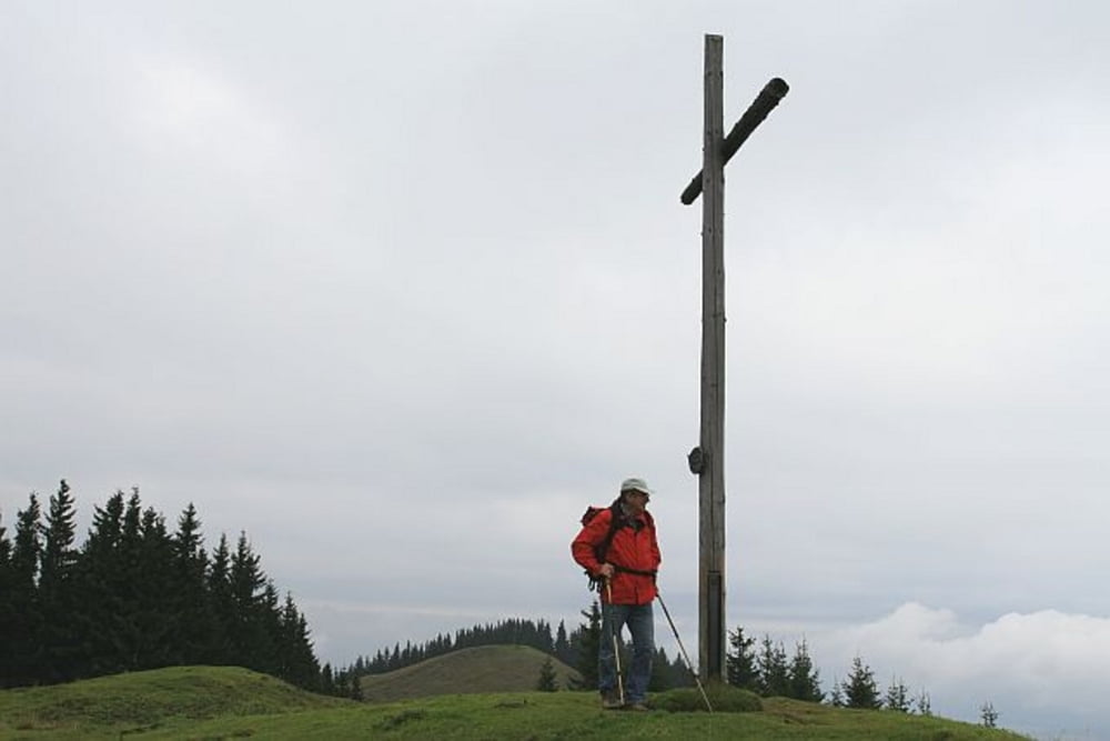
Von Kappel wandert man immer in Richtung Osten (nicht der Beschilderung "Neue Wegführung folgen"). Bald führt uns ein kleines Wegelein über einsame Wiesen bis auf den Gipfel des Mittleren Hörnle. Wer nun Lust auf ein kühles Bier hat, kann von hier in ca. 15 Minuten zur Hörnlehütte wandern. Der Abstieg folgt dem Anstiegsweg.
Gehzeit im Aufstieg: Ca. 1,5 Stunden
Gehzeit im Abstieg: Ca. 1 Stunde
Further information at
http://www.eibsee-hotel.deGaleria trasy


Mapa trasy i profil wysokości
Minimum height 839 m
Maximum height 1497 m
More about the tour author
|
|
EIBSEE-HOTEL |
Komentarze

Von Garmisch kommend etwa 1km nach dem Ortsende von Unterammergau findet sich auf der rechten Seite eine Kapelle. Hier parken.
GPS tracks
Trackpoints-
GPX / Garmin Map Source (gpx) download
-
TCX / Garmin Training Center® (tcx) download
-
CRS / Garmin Training Center® (crs) download
-
Google Earth (kml) download
-
G7ToWin (g7t) download
-
TTQV (trk) download
-
Overlay (ovl) download
-
Fugawi (txt) download
-
Kompass (DAV) Track (tk) download
-
Karta trasy (pdf) download
-
Original file of the author (gpx) download
More about the tour author
|
|
EIBSEE-HOTEL |
Add to my favorites
Remove from my favorites
Edit tags
Open track
My score
Rate