

Wir starten in Schlaneid. Auch einem guten Feldweg fahren wir nach Vöran. Am Parkplatz Grüner Baum vorbei geht es zur Leadner Alm. Von dort über Feldwege und Trail vorbei an Aschl und Mölten zurück nach Schlaneid.
Tour kann problemlos mit meinen Touren
Tour #68996: Leichte Tour mit Dolomiten-Blick
Tour #68960: Sehr schöne Tour mit Blick auf die Dolomiten
kombiniert werden.
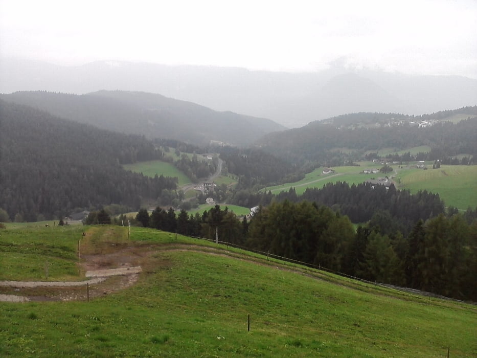
Galeria trasy

Mapa trasy i profil wysokości
Minimum height 1077 m
Maximum height 1516 m
More about the tour author

|
mareb1972 |
Komentarze

Mölten / Schlaneid. Parken in Schlaneid. Ggf. auch Einstieg am Parkplatz Grüner Baum in Vöran
GPS tracks
Trackpoints-
GPX / Garmin Map Source (gpx) download
-
TCX / Garmin Training Center® (tcx) download
-
CRS / Garmin Training Center® (crs) download
-
Google Earth (kml) download
-
G7ToWin (g7t) download
-
TTQV (trk) download
-
Overlay (ovl) download
-
Fugawi (txt) download
-
Kompass (DAV) Track (tk) download
-
Karta trasy (pdf) download
-
Original file of the author (gpx) download
More about the tour author
|
|
mareb1972 |
Add to my favorites
Remove from my favorites
Edit tags
Open track
My score
Rate