


Der Mtb-Club-Muenchen war mit vier Mitgliedern unterwegs...
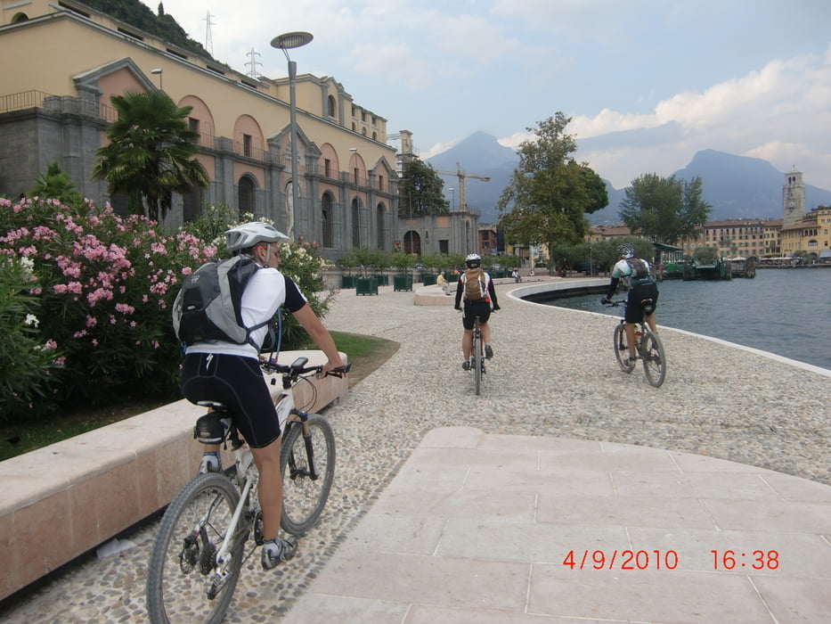
Strat ist in Torbole und los gehts Richtung Riva.
Am Westufer biegt ihr dann rechts ab rauf zum Ledrosee mit ersten ordentlichen Anstiegen.
Südlich des Lago di Ledro fahrt ihr weiter bis hinter Triarno di Sopra um dort links abzubiegen und euch hinauf zu schrauben bis zum Rifugio Garda.
Ab da wirds dann geländiger.
Auf bekannten Transalp-Wegen fahrt ihr bergab bis es rechts Richtung Leona geht.
Diese Abfahrt führt dann nach Pre di Ledro und ist nicht zu unterschätzen in ihrer Schönheit aber auch Gefährlichkeit...
Ab da fahrt ihr auf bekannter Route bis Riva, dort macht am besten eine Pause mit Latte Macchiato und Gelato.
Jetzt fehlt nur noch der Abstecher zum Monte Brione...
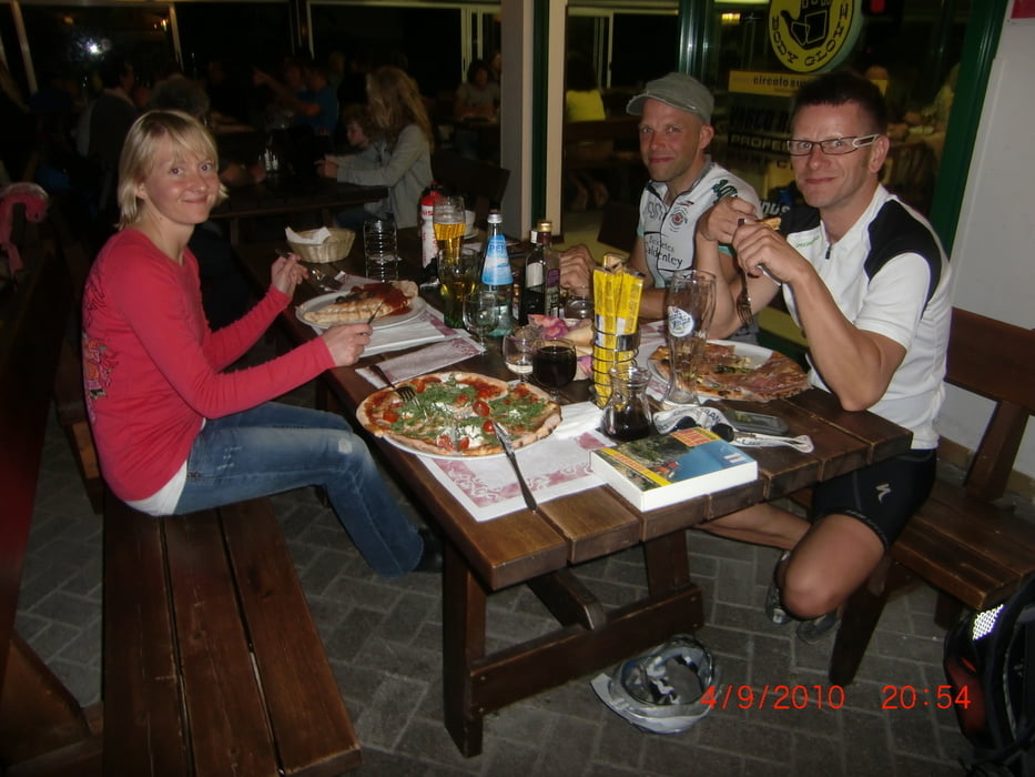
Einfach rauf fahren die Aussicht genießen und dann nach der Abfahrt in Torbole bei Claudio in der "Villa Emma" Pizza und Radeler den Tag ausklingen lassen.
Fui Spaß...
Further information at
http://www.villa-emma.com/Galeria trasy


Mapa trasy i profil wysokości
Minimum height 40 m
Maximum height 1826 m
More about the tour author
|
|
MTB-Club-Muenchen |
Komentarze

GPS tracks
Trackpoints-
GPX / Garmin Map Source (gpx) download
-
TCX / Garmin Training Center® (tcx) download
-
CRS / Garmin Training Center® (crs) download
-
Google Earth (kml) download
-
G7ToWin (g7t) download
-
TTQV (trk) download
-
Overlay (ovl) download
-
Fugawi (txt) download
-
Kompass (DAV) Track (tk) download
-
Karta trasy (pdf) download
-
Original file of the author (gpx) download
More about the tour author
|
|
MTB-Club-Muenchen |
Add to my favorites
Remove from my favorites
Edit tags
Open track
My score
Rate