

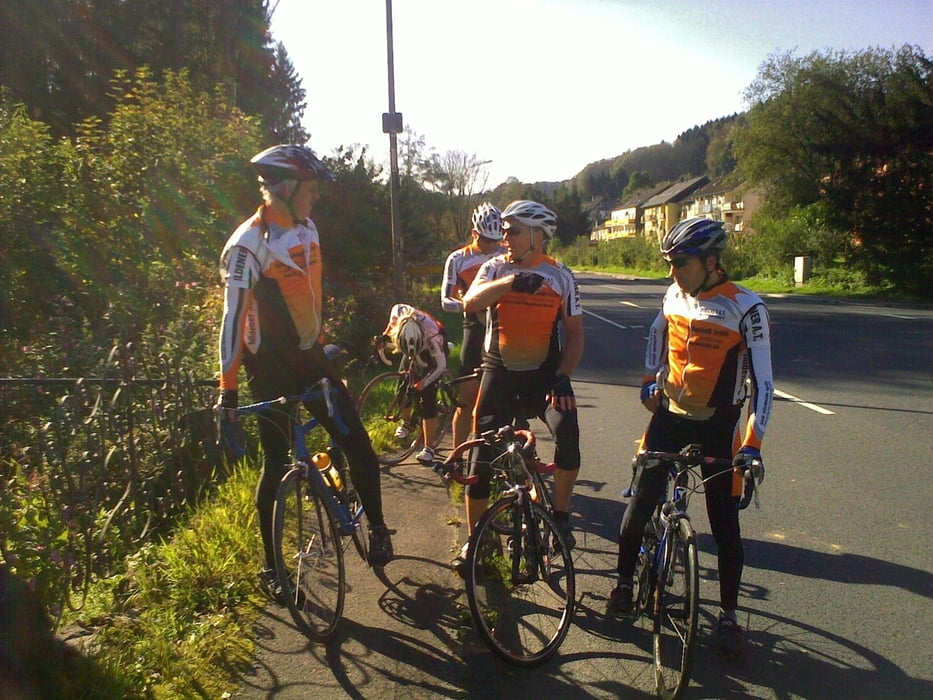
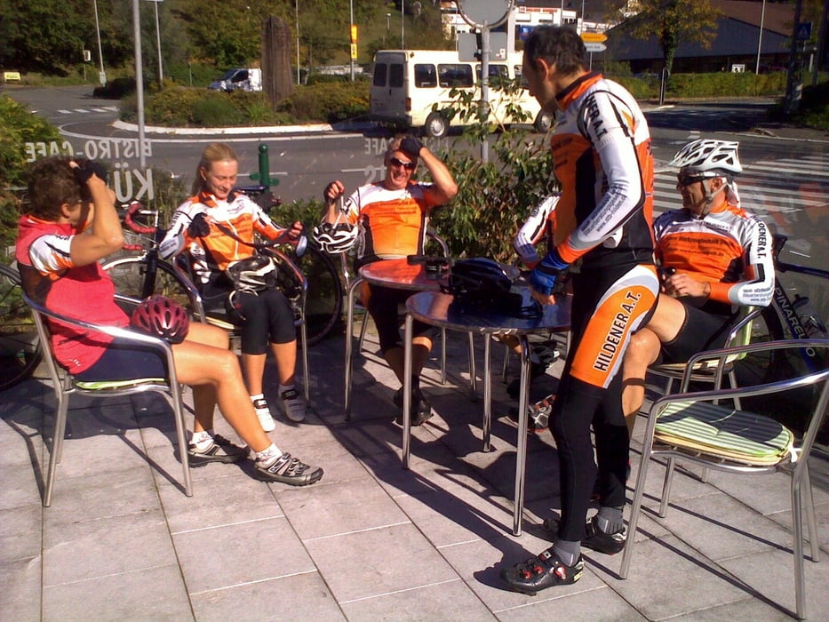
Ausfahrt des HAT - Hilden vom 09.10.2010
Dies ist eine Ausfahrt in das Oberbergische Land vom Team des Hildener AT.
Die Runde Startet und Endet am Sportzentrum des HAT Fit, Holterhöfchen 22 - 24, 40724 Hilden.
Sie geht über Leverkusen Richtung Altenberg, eine kleine Schleife durch das Oberbergische mit eine tollen Landschaft.
Die Radsportler vom "TEAM HILDENER AT" würden sich freuen, weitere Radsportler/innen in ihren Reihen begrüßen zu können. Frei nach dem Motto, je größer die Gruppe, desto mehr Windschatten.
Trainingszeiten siehe Link!
Viel Spaß beim Nachfahren oder besser beim Mitfahren.
Further information at
http://www.hildener-at.de/index.php?option=com_content&view=article&id=7&Itemid=26Galeria trasy


Mapa trasy i profil wysokości
Minimum height -23 m
Maximum height 277 m
More about the tour author
|
|
MarcusVergin |
Komentarze

GPS tracks
Trackpoints-
GPX / Garmin Map Source (gpx) download
-
TCX / Garmin Training Center® (tcx) download
-
CRS / Garmin Training Center® (crs) download
-
Google Earth (kml) download
-
G7ToWin (g7t) download
-
TTQV (trk) download
-
Overlay (ovl) download
-
Fugawi (txt) download
-
Kompass (DAV) Track (tk) download
-
Karta trasy (pdf) download
-
Original file of the author (gpx) download
More about the tour author
|
|
MarcusVergin |
Add to my favorites
Remove from my favorites
Edit tags
Open track
My score
Rate