

Hallo,
los ging es auf unserer Wandertour vom Wanderparkplatz an der Burkhardsmühle. Alle Wege sind auch bei nicht so gutem Wetter begehbar. Schöne Rundtour mit toller Aussicht am Uhlbergturm wo an Wochenenden, in der Sommerzeit, auch ein Kiosk vorhanden ist.Natürlich ist auch dort eine Grillstelle vorhanden und es darf gegrillt werden.
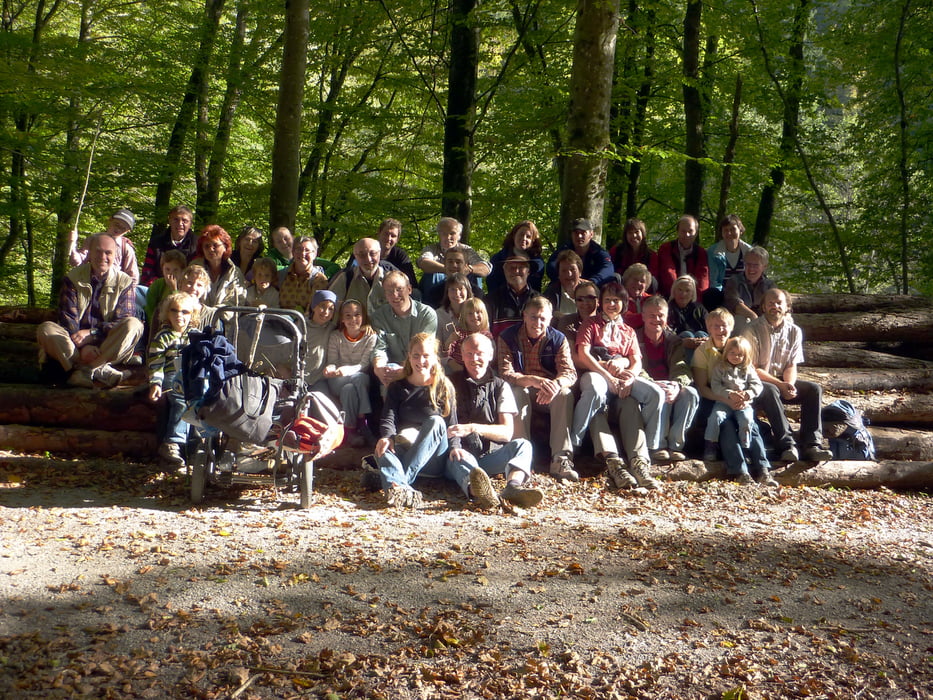
Viel Spaß auf dieser Tour die wir, mit bestimmt 6 Kindern, gelaufen sind.
http://ritter-sport.de/#/de_DE/waldenbuch/schokoshop/
Further information at
http://www.siebenmuehlental.com/61.htmlMapa trasy i profil wysokości
Minimum height 340 m
Maximum height 494 m
More about the tour author
|
|
minispeedy |
Komentarze

Von Waldenbuch kommend Richtung Plattenhardt (L1185 Nürtingerstrasse) Wanderparkplatz an der Burkhardsmühle, dort ist auch ein Kiosk wo man schön sitzen kann und etwas trinken kann.
GPS tracks
Trackpoints-
GPX / Garmin Map Source (gpx) download
-
TCX / Garmin Training Center® (tcx) download
-
CRS / Garmin Training Center® (crs) download
-
Google Earth (kml) download
-
G7ToWin (g7t) download
-
TTQV (trk) download
-
Overlay (ovl) download
-
Fugawi (txt) download
-
Kompass (DAV) Track (tk) download
-
Karta trasy (pdf) download
-
Original file of the author (gpx) download
More about the tour author
|
|
minispeedy |
Add to my favorites
Remove from my favorites
Edit tags
Open track
My score
Rate