


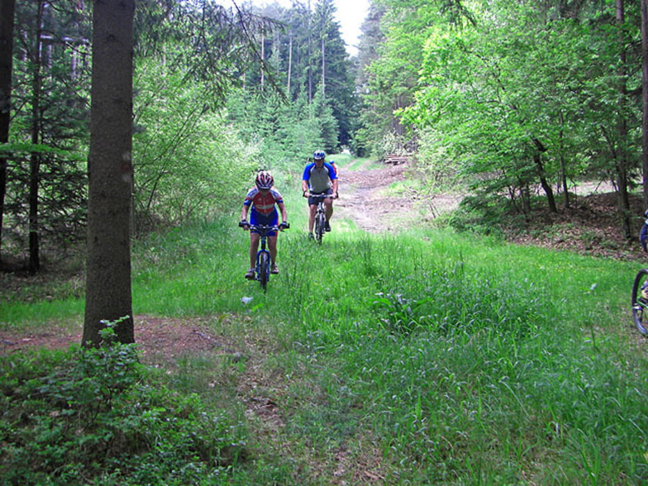
Abwechslungsreiche Tour von St. Magdalena am Lemberg nach Hartberg und durchs Lafnitztal wieder zurück. Die Wanderwege sind teilweise schon länger nicht mehr benutzt worden. Teilweise kommt Pioniergefühl auf!
Startpunkt ist das Gasthaus Gerngroß in St. Magdalena (bei der Kirche).
Das Gasthaus Gerngroß ist sehr empfehlenswert als Quartier für eine MTB-Trainingswoche!
Further information at
http://www.st-magdalena-lemberg.steiermark.at/Galeria trasy


Mapa trasy i profil wysokości
Minimum height 288 m
Maximum height 469 m
More about the tour author
|
|
Ers |
Komentarze

Startpunkt ist das Gasthaus/Pension Gerngroß in St. Magdalena am Lemberg.
GPS tracks
Trackpoints-
GPX / Garmin Map Source (gpx) download
-
TCX / Garmin Training Center® (tcx) download
-
CRS / Garmin Training Center® (crs) download
-
Google Earth (kml) download
-
G7ToWin (g7t) download
-
TTQV (trk) download
-
Overlay (ovl) download
-
Fugawi (txt) download
-
Kompass (DAV) Track (tk) download
-
Karta trasy (pdf) download
-
Original file of the author (gpx) download
More about the tour author
|
|
Ers |
Add to my favorites
Remove from my favorites
Edit tags
Open track
My score
Rate