
")

Vom Ausgangspunkt Pitlochry gelangt man am River Tummel nach Logirait. Man biegt nach Westen ab und radelt am River Tay entlang nach Aberfeldy.
Besichtigungsmöglichkeiten:
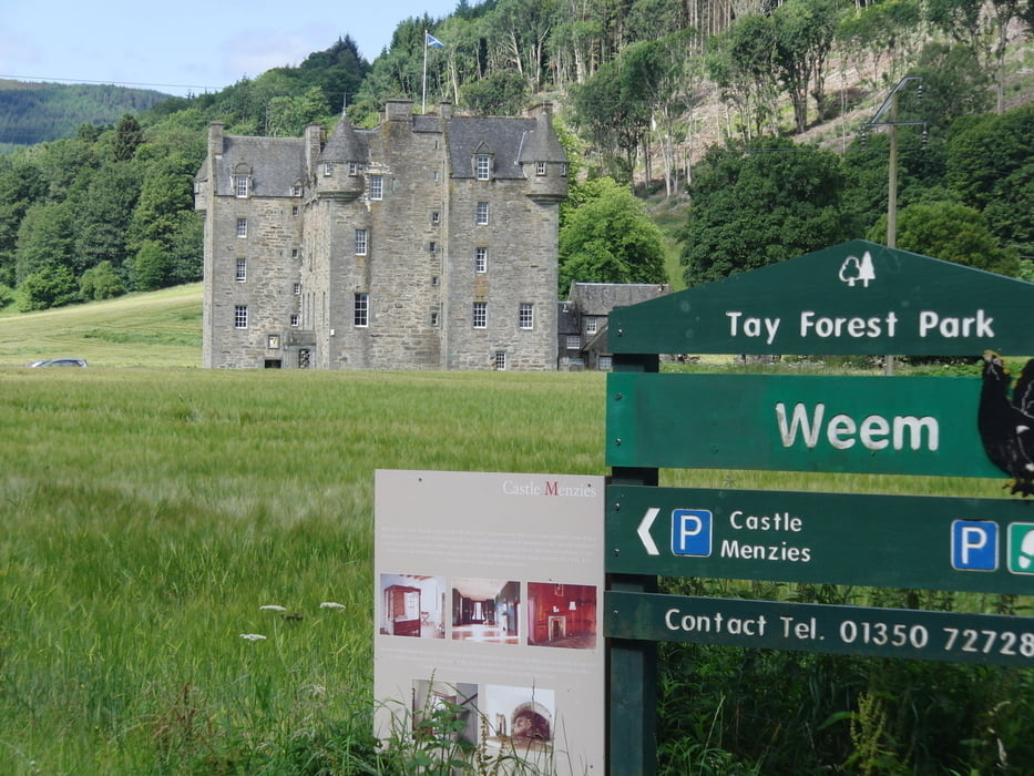
Distillerie, Wassermühle, Spaziergang durch die "Birks of Aberfeldy"
Hinter Dull läuft der Radweg über eine Bergpassage ( 388 hm) zum Loch Tummel.
Auf einer alten Militärstraße geht es im stetigen Auf und Ab über Loch Faskally zurück nach Pitlochry.
Galeria trasy


Mapa trasy i profil wysokości
Minimum height 62 m
Maximum height 387 m
More about the tour author
|
|
vecoliped |
Komentarze

Als optimal ist m.E. die Anreise von Ijmuiden (Amsterdam) mit der Fähre nach Newcastle. Hier ist man schon fast in Northumberland und somit an der schottischen Grenze.
GPS tracks
Trackpoints-
GPX / Garmin Map Source (gpx) download
-
TCX / Garmin Training Center® (tcx) download
-
CRS / Garmin Training Center® (crs) download
-
Google Earth (kml) download
-
G7ToWin (g7t) download
-
TTQV (trk) download
-
Overlay (ovl) download
-
Fugawi (txt) download
-
Kompass (DAV) Track (tk) download
-
Karta trasy (pdf) download
-
Original file of the author (gpx) download
More about the tour author
|
|
vecoliped |
Add to my favorites
Remove from my favorites
Edit tags
Open track
My score
Rate