
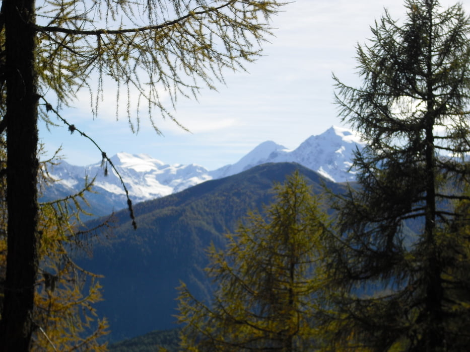

Vom Parkplatz der Sesselbahn vom Ski und Wandergebiet Watles gehen wir bergwärts zur Plantapatsch Hütte. Hier haben wir ein Panorama übers Vinschgau zum Ortler und ins Sesvennagebiet. Weiter gehts nun auf markierten Wegen nach Schlinig. Beim Abstieg wird der Pfad teils schmal und steil.Hier ist gutes Schuhwerk und evtl Stöcke vonnöten. in Schlinig gibts mehrere Einkehrmöglichkeiten z.B. Gasthaus Edelweiß oder Cafe Uina. Der Rückweg führt uns nun auf dem Seppelesteig durch Bergwald nach Prämajur. Vorbei am Gleitschirmstartplatz kommen wir zum Startpunkt an der Watlesbahn.
Further information at
http://www.watles.comGaleria trasy


Mapa trasy i profil wysokości
Minimum height 1693 m
Maximum height 2150 m
More about the tour author
|
|
Bockrider |
Komentarze

Von Mals nach Burgeis und der Beschilderung Skigebiet Watles folgen. Kostenlos Parken bei der Watlesbahn.
GPS tracks
Trackpoints-
GPX / Garmin Map Source (gpx) download
-
TCX / Garmin Training Center® (tcx) download
-
CRS / Garmin Training Center® (crs) download
-
Google Earth (kml) download
-
G7ToWin (g7t) download
-
TTQV (trk) download
-
Overlay (ovl) download
-
Fugawi (txt) download
-
Kompass (DAV) Track (tk) download
-
Karta trasy (pdf) download
-
Original file of the author (gpx) download
More about the tour author
|
|
Bockrider |
Add to my favorites
Remove from my favorites
Edit tags
Open track
My score
Rate