Login

Zapomniałeś swój login?

Cookies have to be accepted!
Your browser's cookie functionality is disabled. Please enable this functionality.

Not a member yet?

Register now
Login

Available for registred users only

Log in to use this feature.

Zapomniałeś swój login?

Cookies have to be accepted!
Your browser's cookie functionality is disabled. Please enable this functionality.

Not a member yet?

Register now
Filter
Kategorie
Advanced filters
  • Długość (km)
  • Wysokość
Zapisz filtr Reset filter

TrackRank

QRCode

Technical data

Długość60,7 km Wysokość567 m Way down588 m Czas trwania03:25 h:m Data21.10.2010
Oceny Author Krajobraz Czynnik zadowolenia Kondycja Technika

Statystyka

500 Widoki Oceny 163 Downloads / Pliki do pobrania Przeciętnie
Rate
  • Karta trasy
  • Dojazd
  • Downloads / Pliki do pobrania

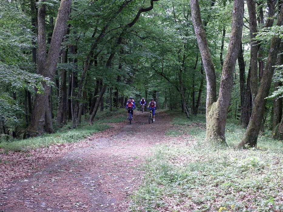
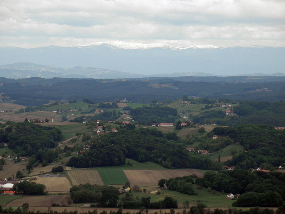
Sehr abwechslungsreiche und landschaftlich wunderschöne Tour. Zuerst gehts zum Aufwärmen flach dahin über Halbenrain, Tieschen, Größing, Hochstraden und Schemming nach St. Anna. Von dort gehts am Pestkreuz vorbei zur slowenischen Grenze und dieser entlang bis Dedenitz, bevor der Kurs wieder auf Bad Radkersburg eingeschlagen wird.

Galeria trasy

Mapa trasy i profil wysokości

  • Open Street Map
  • Google
Minimum height 207 m Maximum height 567 m Widok szczegółowy

More about the tour author

Ers
Member since 2008

Send private message

Komentarze

Startpunkt ist der Altneudörflerhof in Altdörfl.

GPS tracks

Trackpoints
  • GPX / Garmin Map Source (gpx) download
  • TCX / Garmin Training Center® (tcx) download
  • CRS / Garmin Training Center® (crs) download
  • Google Earth (kml) download
  • G7ToWin (g7t) download
  • TTQV (trk) download
  • Overlay (ovl) download
  • Fugawi (txt) download
  • Kompass (DAV) Track (tk) download
  • Karta trasy (pdf) download
  • Original file of the author (gpx) download

More about the tour author

Ers
Member since 2008

Send private message
Share track
Add to my favorites
Remove from my favorites
Edit tags
My score
Rate
Trasa: St. Anna
Rodzaj: Rower górski (MTB)
Długość: 60,7 km
Evaluated on:
Czas trwania:
Day(s)
Hour(s)
Minute(s)
Ocena: Krajobraz Czynnik zadowolenia Kondycja Technika