


24.10.2010
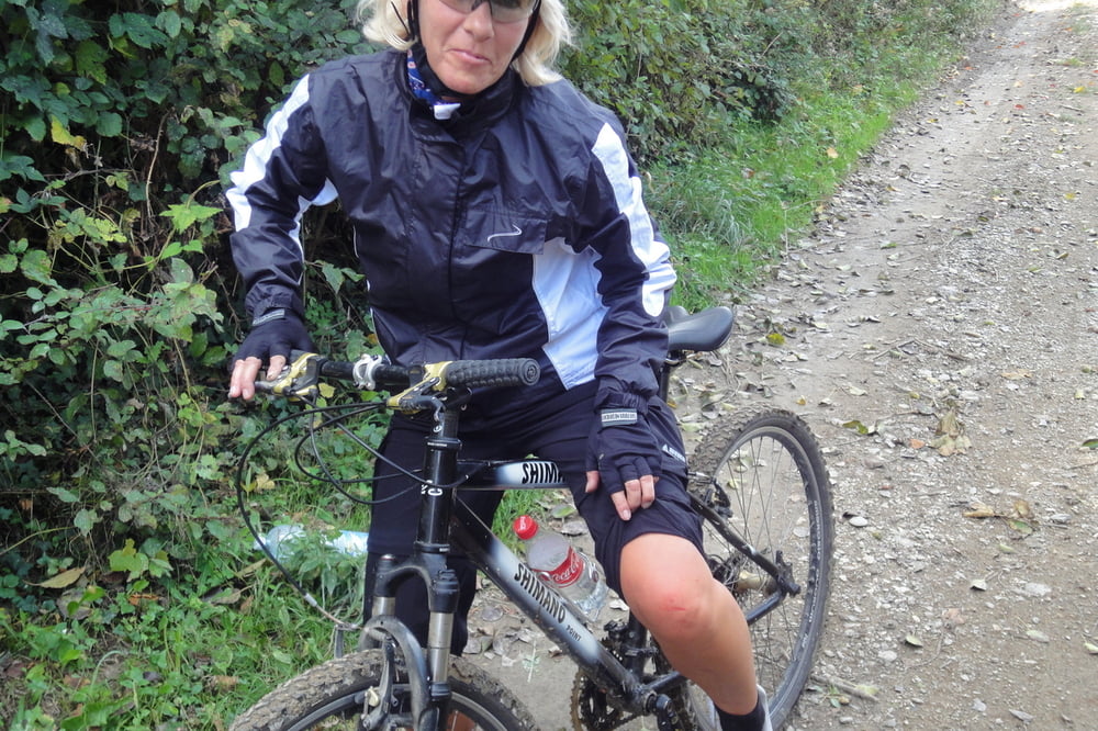
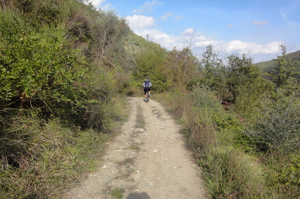
Mountainbike nur notwendig für den landwirtschaftlichen Weg von Testico runter nach Casanova Cerrone. Ansonsten nur Asphaltstraßen über Garlenda und am Flughafen vorbei. Ab Albenga die stark befahrene Via Aurelia am Meer entlang bis Andora.
Insgesamt rd. 10km bergauf bis Testico Teerstraße, rd. 10km bergab Geröllweg, MTB erforderlich, aber gut fahrbar, rd. 10km bis Albenga relativ ruhige Landstraße, rd. 10km bis Andora stark befahren Via Aurelia, rd. 10km ruhige Landstraße bis Bossaneto.
Ci vuole un MTB solo per la strada da Testico a Casanova Cerrone. Poi un po con tanto traffico via Via Aurelia.
Galeria trasy
Mapa trasy i profil wysokości
Minimum height 4 m
Maximum height 476 m
More about the tour author
|
|
GuenterM |
Komentarze
GPS tracks
Trackpoints-
GPX / Garmin Map Source (gpx) download
-
TCX / Garmin Training Center® (tcx) download
-
CRS / Garmin Training Center® (crs) download
-
Google Earth (kml) download
-
G7ToWin (g7t) download
-
TTQV (trk) download
-
Overlay (ovl) download
-
Fugawi (txt) download
-
Kompass (DAV) Track (tk) download
-
Karta trasy (pdf) download
-
Original file of the author (gpx) download
More about the tour author
|
|
GuenterM |
Add to my favorites
Remove from my favorites
Edit tags
Open track
My score
Rate
Schuhe aus und durch!
Teilweise auf der Abfahrt von Testico nach Galenda allerdings sehr, sehr matschig! Zudem führt die Strecke durch einen Bach, der aufgrund der vielen Niederschläge Tage vorher kaum durchfahrbar war (ca. 40 cm und viele lose Steine). Also, Schuhe & Strümpfe aus und durch! Ging ganz gut!