


Start ist beim Fahrradgeschäft A-H Bikes in Mochenwangen www.a-hbikes.de
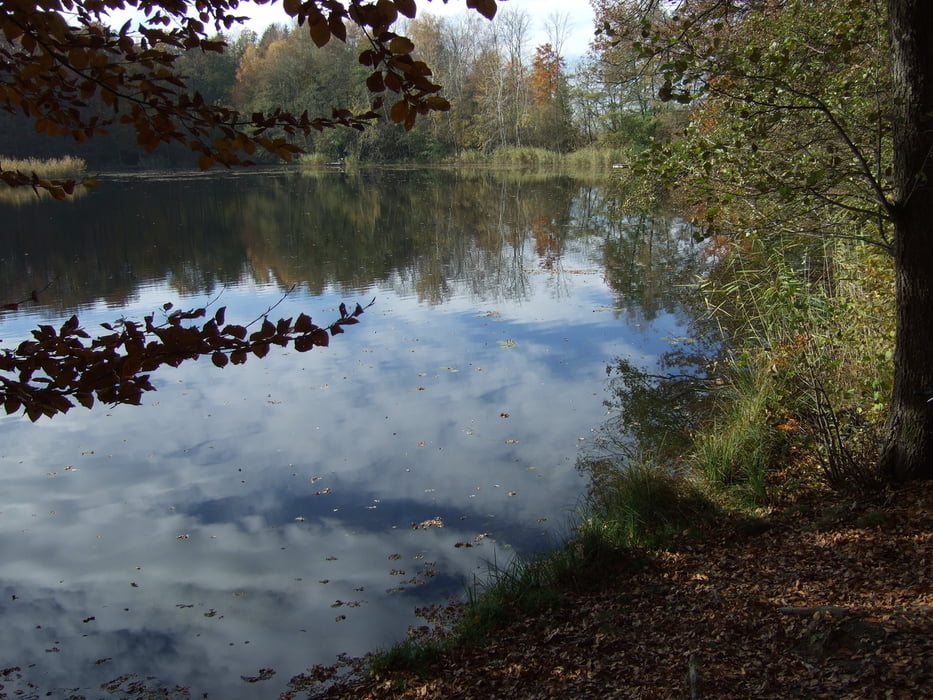
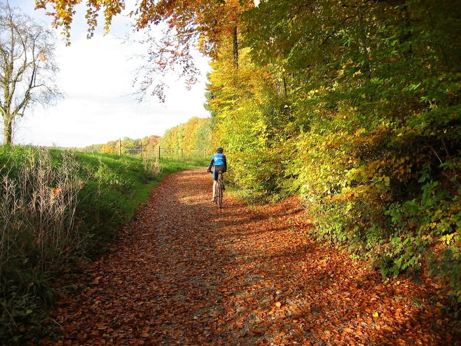
Hier kann man auch parken. Abwechslungsreiche kleine Runde im Altdorfer Wald, vorwiegend auf Forstwegen und Trails. Ab- und zu nette Aussichten auf kleine idyllische Waldweiher.
Kondition - nicht anspruchsvoll für geübte Mountainbiker
Technik - ein paar kleine Steigungen, eine steilere Abfahrt und an der Treppe links entlang hoch, stellen auch hier keine großen Anforderungen an geübte Biker.
Viel Spaß wünscht Euch das
A-H Bikes Team
Fahrräder nach Maß
Mochenwangen
Galeria trasy
Mapa trasy i profil wysokości
Minimum height 437 m
Maximum height 594 m
More about the tour author

|
dragster288 |
Komentarze

Von Aulendorf / Wolpertswende kommend durch Mochenwangen durch und nach der Eisenbahnbrücke die 1. Straße rechts.
Von Baienfurt / Weingarten kommend nach dem Ortsschild von Mochenwangen die 2. Straße links.
GPS tracks
Trackpoints-
GPX / Garmin Map Source (gpx) download
-
TCX / Garmin Training Center® (tcx) download
-
CRS / Garmin Training Center® (crs) download
-
Google Earth (kml) download
-
G7ToWin (g7t) download
-
TTQV (trk) download
-
Overlay (ovl) download
-
Fugawi (txt) download
-
Kompass (DAV) Track (tk) download
-
Karta trasy (pdf) download
-
Original file of the author (gpx) download
More about the tour author
|
|
dragster288 |
Add to my favorites
Remove from my favorites
Edit tags
Open track
My score
Rate