


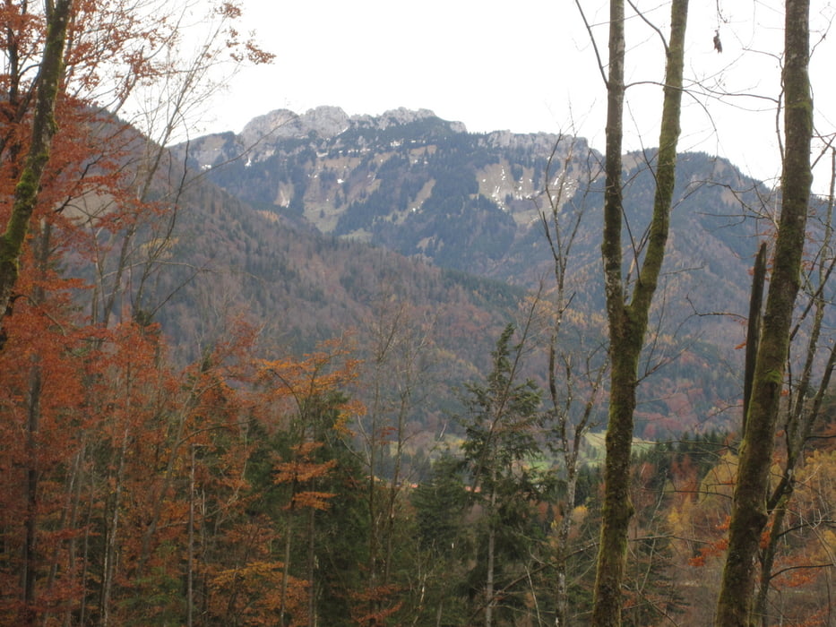
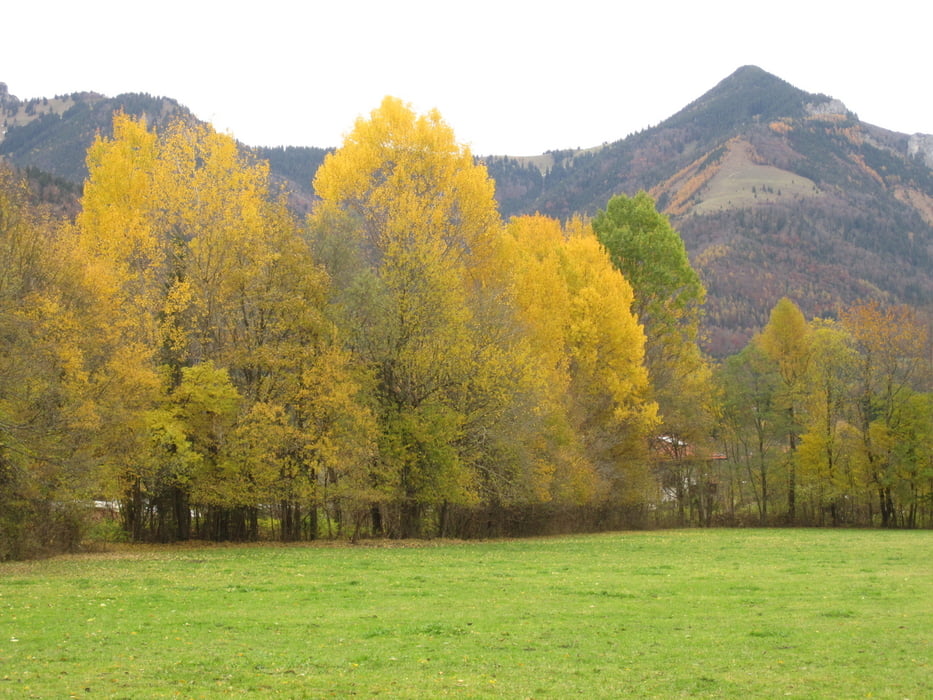
Der Schmugglerpfad führt von Ettenhausen in die Entenlochklamm. Dabei geht es unschwehr über den Klobenstein. Am Ende des Weges führt eine Hängebrücke über die Tiroler Ache. Dort am Ufer des Flusses kannst Du gut rasten.
Die Tour ist auch für Kinder geeignet.
Galeria trasy

Mapa trasy i profil wysokości
Minimum height 580 m
Maximum height 739 m
More about the tour author
|
|
Bergmann-Mitzel |
Komentarze

Die A8 bei der Ausfahrt Bernau verlassen. Auf der B305 bis nach Marquartstein. Von der auf der B307 Richtung Kössen. Durch Ettenhausen hindurch geht es zur Talstation der Geigelsteinbahn. Hier geht es los.
GPS tracks
Trackpoints-
GPX / Garmin Map Source (gpx) download
-
TCX / Garmin Training Center® (tcx) download
-
CRS / Garmin Training Center® (crs) download
-
Google Earth (kml) download
-
G7ToWin (g7t) download
-
TTQV (trk) download
-
Overlay (ovl) download
-
Fugawi (txt) download
-
Kompass (DAV) Track (tk) download
-
Karta trasy (pdf) download
-
Original file of the author (gpx) download
More about the tour author
|
|
Bergmann-Mitzel |
Add to my favorites
Remove from my favorites
Edit tags
Open track
My score
Rate