
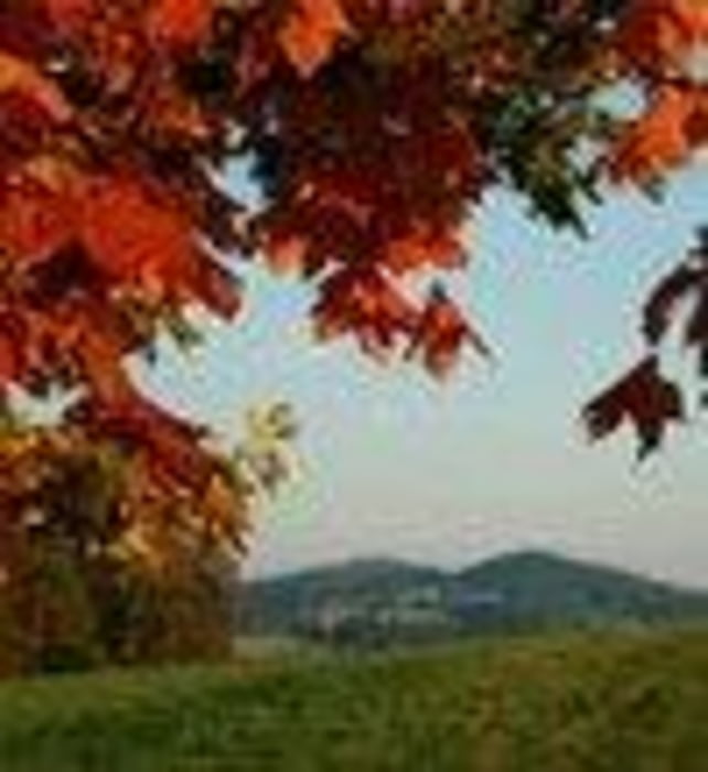

Schöner sonniger Rundweg!
Sonnige, leichte Wanderung. Nicht markiert, teilw. Parallel mit dem Böhmerwaldblickweg, Wanderweg Gr. Mühl und Ödenkirchenerweg. Für Schneetouren gut geeignet!
Ausgangspunkt dieser Wanderung ist in Stangl bei Ulrichsberg. Keine Wegnummer!
Fordern Sie unsere Wanderkarte um EUR 3,00 hier an: info@boehmerwald.at!
Oder rufen Sie uns einfach an: Infotelefon +43 5 7890 100.
Further information at
http://www.boehmerwald.atMapa trasy i profil wysokości
Minimum height 461 m
Maximum height 591 m
More about the tour author
|
|
aigen-schlaegl |
Komentarze

Mit dem Auto:
ab Linz: B127 bis Rohrbach - Öpping - Aigen-Schlägl - Ulrichsberg - Stangl
ab Passau: Grenzübergang Breitenberg - Klaffer - Ulrichsberg - Stangl
Mit der Bahn: bis Aigen-Schlägl - mti dem Bus weiter bis Ulrichsberg http://www.oebb.at
Mit dem Bus: http://www.oebb.at
GPS tracks
Trackpoints-
GPX / Garmin Map Source (gpx) download
-
TCX / Garmin Training Center® (tcx) download
-
CRS / Garmin Training Center® (crs) download
-
Google Earth (kml) download
-
G7ToWin (g7t) download
-
TTQV (trk) download
-
Overlay (ovl) download
-
Fugawi (txt) download
-
Kompass (DAV) Track (tk) download
-
Karta trasy (pdf) download
-
Original file of the author (gpx) download
More about the tour author
|
|
aigen-schlaegl |
Add to my favorites
Remove from my favorites
Edit tags
Open track
My score
Rate