Login

Zapomniałeś swój login?

Cookies have to be accepted!
Your browser's cookie functionality is disabled. Please enable this functionality.

Not a member yet?

Register now
Login

Available for registred users only

Log in to use this feature.

Zapomniałeś swój login?

Cookies have to be accepted!
Your browser's cookie functionality is disabled. Please enable this functionality.

Not a member yet?

Register now
Filter
Kategorie
Advanced filters
  • Długość (km)
  • Wysokość
Zapisz filtr Reset filter

TrackRank

QRCode

Technical data

Długość259,0 km Wysokość6391 m Way down7073 m Czas trwania14 days 0 h Data05.11.2010
Oceny Author Krajobraz Czynnik zadowolenia Kondycja Technika

Statystyka

1378 Widoki Oceny 95 Downloads / Pliki do pobrania Przeciętnie
Rate
  • Karta trasy
  • Dojazd
  • Downloads / Pliki do pobrania

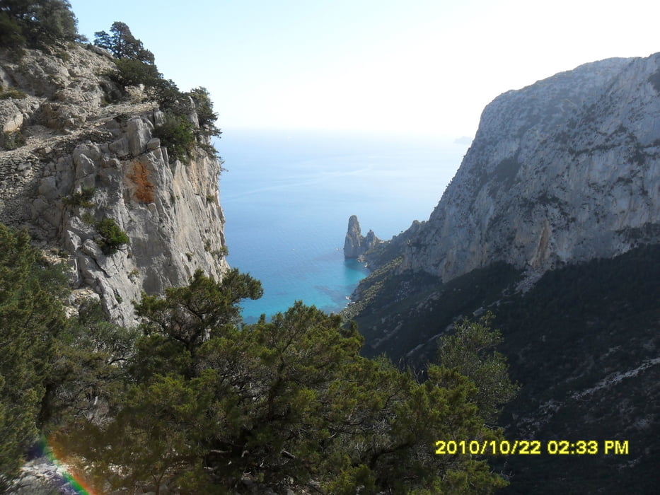
mehrere Bergtouren auf Sardinien in der Provinz Ogliastra, am golfo di orosei und im Gebirge gennargentu mit Besteigung des höchsten Berges La Marmora

Landschaftlich hervorragend!

Mapa trasy i profil wysokości

  • Open Street Map
  • Google
Minimum height -6 m Maximum height 1826 m Widok szczegółowy

More about the tour author

ultra
Member since 2010

Send private message

Komentarze

GPS tracks

Trackpoints
  • GPX / Garmin Map Source (gpx) download
  • TCX / Garmin Training Center® (tcx) download
  • CRS / Garmin Training Center® (crs) download
  • Google Earth (kml) download
  • G7ToWin (g7t) download
  • TTQV (trk) download
  • Overlay (ovl) download
  • Fugawi (txt) download
  • Kompass (DAV) Track (tk) download
  • Karta trasy (pdf) download
  • Original file of the author (gpx) download

More about the tour author

ultra
Member since 2010

Send private message
Share track
Add to my favorites
Remove from my favorites
Edit tags
My score
Rate
Trasa: Sardinien
Rodzaj: Trasy górskie
Długość: 259,0 km
Evaluated on:
Czas trwania:
Day(s)
Hour(s)
Minute(s)
Ocena: Krajobraz Czynnik zadowolenia Kondycja Technika