


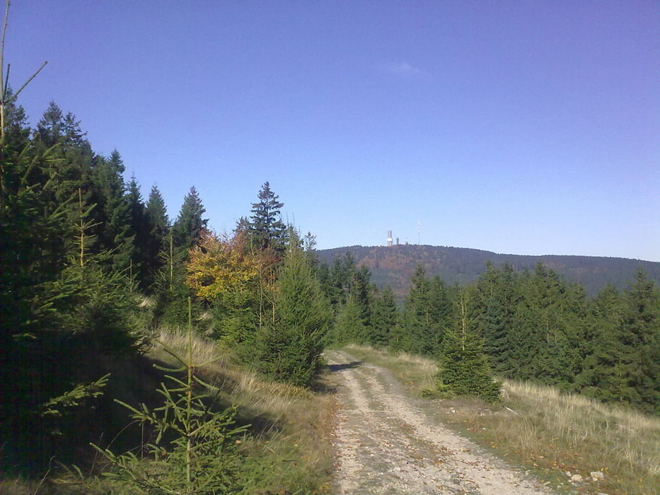
Ab Frankfurt auf normalen Straßen und Radwegen bis Hohemark (Endstation U3). Von dort über die Emminghaushütte teils sehr steile und steinige Abschnitte zum Altkönig (Faszinierende Landschaft und Aussicht). Dann runter am Fuchstanz und am kleinen Feldberg vorbei zum großen Feldberg. Einen gefährlichen Klettersteig runter (nur für Cracks) über Fuchstanz (Einkehrmöglichkeit) und Hohemark wieder nach Ffm.
Galeria trasy
Mapa trasy i profil wysokości
Minimum height 100 m
Maximum height 884 m
More about the tour author
|
|
Christoph1963 |
Komentarze

Mit dem Auto A661 Abfahrt Oberursel/Hohemark oder mit der U-Bahn U3 von Frankfurt kommend bis Endhaltestelle Hohemark.
GPS tracks
Trackpoints-
GPX / Garmin Map Source (gpx) download
-
TCX / Garmin Training Center® (tcx) download
-
CRS / Garmin Training Center® (crs) download
-
Google Earth (kml) download
-
G7ToWin (g7t) download
-
TTQV (trk) download
-
Overlay (ovl) download
-
Fugawi (txt) download
-
Kompass (DAV) Track (tk) download
-
Karta trasy (pdf) download
-
Original file of the author (gpx) download
More about the tour author
|
|
Christoph1963 |
Add to my favorites
Remove from my favorites
Edit tags
Open track
My score
Rate