

Startpunkt in der gpx Datei ist Schaan, die eigentliche Tour beginnt und endet aber in Buchs. Der Aufstieg bis zum Buchserberg erfolgt grossteils auf Schotterstrassen kombiniert mit 2 kurzen aber technisch anspruchsvollen Trail-Passagen.
Vom Buchserberg geht es dann Richtung Malbun bis man dann Richtung Alb Valspuus auf einen Wanderweg abzweigt. Die ersten ca. 200m muss man das bike tragen, dann erfolgt die Abfahrt zuerst auf einer Schotterstrasse und dann entlang von sehr schönen Single-Trails nach Buchs hinunter
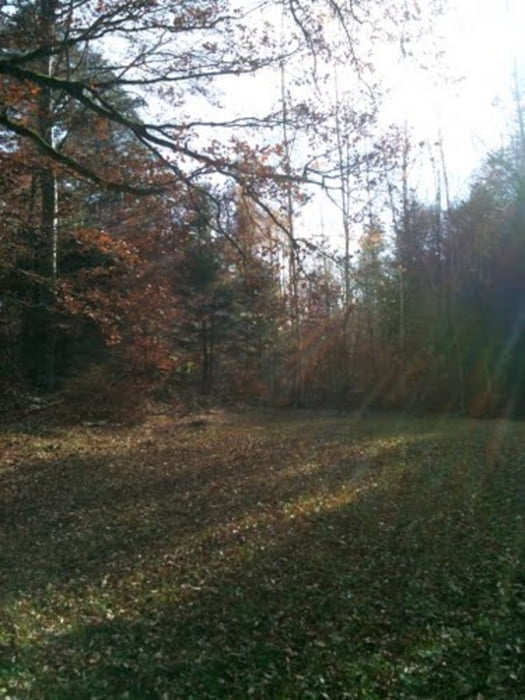
Galeria trasy


Mapa trasy i profil wysokości
Minimum height 414 m
Maximum height 1318 m
More about the tour author

|
hirric |
Komentarze

Parkmöglichkeiten beim TAK in Schaan oder am Buchser Bahnhof
GPS tracks
Trackpoints-
GPX / Garmin Map Source (gpx) download
-
TCX / Garmin Training Center® (tcx) download
-
CRS / Garmin Training Center® (crs) download
-
Google Earth (kml) download
-
G7ToWin (g7t) download
-
TTQV (trk) download
-
Overlay (ovl) download
-
Fugawi (txt) download
-
Kompass (DAV) Track (tk) download
-
Karta trasy (pdf) download
-
Original file of the author (gpx) download
More about the tour author
|
|
hirric |
Add to my favorites
Remove from my favorites
Edit tags
Open track
My score
Rate