Login

Zapomniałeś swój login?

Cookies have to be accepted!
Your browser's cookie functionality is disabled. Please enable this functionality.

Not a member yet?

Register now
Login

Available for registred users only

Log in to use this feature.

Zapomniałeś swój login?

Cookies have to be accepted!
Your browser's cookie functionality is disabled. Please enable this functionality.

Not a member yet?

Register now
Filter
Kategorie
Advanced filters
  • Długość (km)
  • Wysokość
Zapisz filtr Reset filter

TrackRank

QRCode

Technical data

Długość107,1 km Wysokość1113 m Way down1120 m Czas trwania00:00 h:m Data07.11.2010
Oceny Author Krajobraz Czynnik zadowolenia Kondycja Technika

Statystyka

477 Widoki Oceny 20 Downloads / Pliki do pobrania Przeciętnie
Rate
  • Karta trasy
  • Dojazd
  • Downloads / Pliki do pobrania

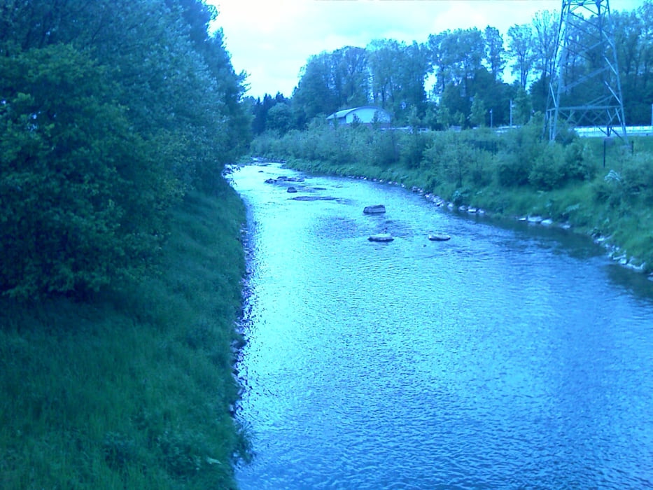
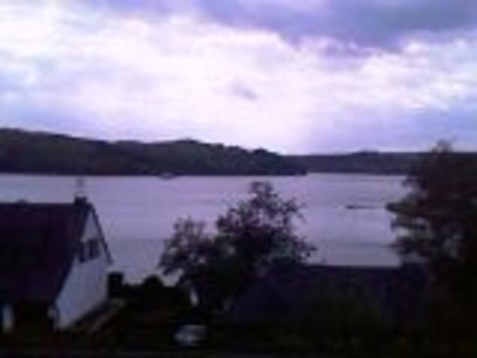
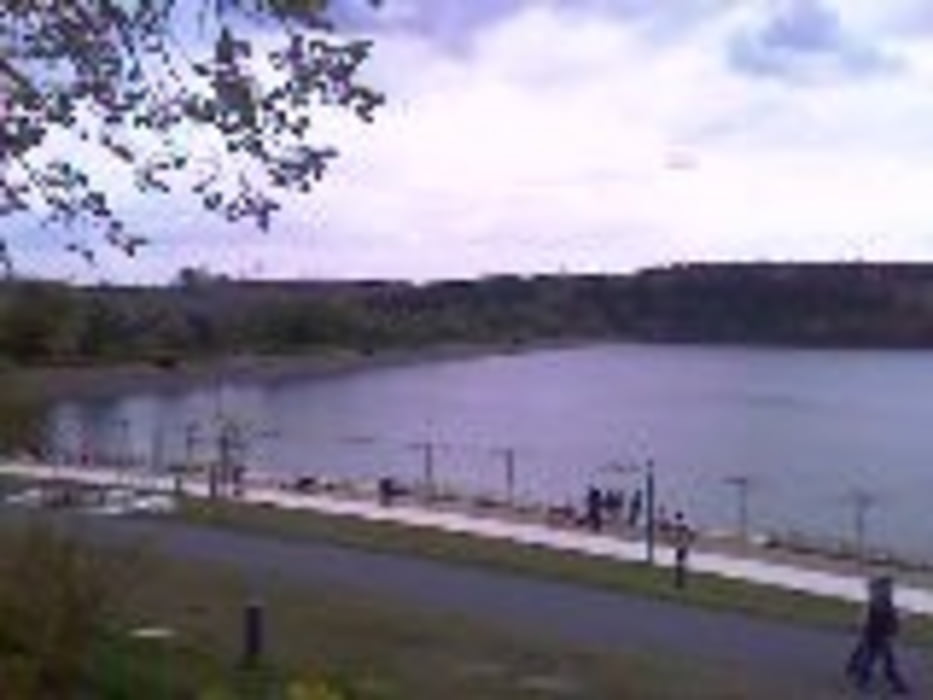
Die Radtour beginnt mit dem Ruhrradweg ziemlich gemächlich. Kurz vor Fröndenberg geht es Richtung Menden über den Radweg entlag der Hönne. Erst ab Menden wird die Radtour von den Steigungen her anspruchsvoller. Sie führt über Asbeck, Eisborn, Balve und Mellen zum Sorpesee. Die schön gestaltete Promenade am Sorpesee und die Eisdiele laden zum Verweilen ein.  

Galeria trasy

Mapa trasy i profil wysokości

  • Open Street Map
  • Google
Minimum height 105 m Maximum height 347 m Widok szczegółowy

More about the tour author

radonralf
Member since 2008

Send private message

Komentarze

GPS tracks

Trackpoints
  • GPX / Garmin Map Source (gpx) download
  • TCX / Garmin Training Center® (tcx) download
  • CRS / Garmin Training Center® (crs) download
  • Google Earth (kml) download
  • G7ToWin (g7t) download
  • TTQV (trk) download
  • Overlay (ovl) download
  • Fugawi (txt) download
  • Kompass (DAV) Track (tk) download
  • Karta trasy (pdf) download
  • Original file of the author (gpx) download

More about the tour author

radonralf
Member since 2008

Send private message
Share track
Add to my favorites
Remove from my favorites
Edit tags
My score
Rate
Trasa: Dortmund - Sorpesee - Dortmund
Rodzaj: Rower trekkingowy
Długość: 107,1 km
Evaluated on:
Czas trwania:
Day(s)
Hour(s)
Minute(s)
Ocena: Krajobraz Czynnik zadowolenia Kondycja Technika