
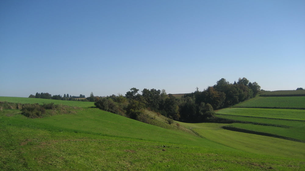

gute Runde so richtig zum auspowern, überwiegend Schotterpisten, Waldwege kaum Teerstraßen, auf dem Gumpenberg toller Ausblick ins Donaumoos,
viel Spaß beim nachfahren :-)
www.bikeandmore-meitingen.de
Bikes and Parts handmade in Germany!
Schloßstraße 9a, 86405 Meitingen, Phone 08271 42 46 075, Mobil 0171 334 3612
Steppenwolf Bikes: born to ride free > www.steppenwolf-bikes.com
Ghost Bikes: have your own Ghost > www.ghost-bikes.de
Corratec Bikes: colour your way > www.corratec.de
Diamant Fahrräder seit 125 Jahren > www.diamantrad.com
MTB Touren: http://www.gps-tour.info/de/community/tours.Bikeandmoremeitingen.html
Unser Geschäftsöffnungszeiten sind:
Dienstag, Donnerstag, Freitag von 10:00h bis 13:00h und 14:30h bis 18:00h
Samstag 10:00 bis 13:00
und fast jederzeit nach telefonischer Terminvereinbarung unter 0171 334 3612
Galeria trasy


Mapa trasy i profil wysokości
Minimum height 422 m
Maximum height 523 m
More about the tour author
|
|
Bikeandmoremeitingen |
Komentarze
GPS tracks
Trackpoints-
GPX / Garmin Map Source (gpx) download
-
TCX / Garmin Training Center® (tcx) download
-
CRS / Garmin Training Center® (crs) download
-
Google Earth (kml) download
-
G7ToWin (g7t) download
-
TTQV (trk) download
-
Overlay (ovl) download
-
Fugawi (txt) download
-
Kompass (DAV) Track (tk) download
-
Karta trasy (pdf) download
-
Original file of the author (gpx) download
More about the tour author
|
|
Bikeandmoremeitingen |
Add to my favorites
Remove from my favorites
Edit tags
Open track
My score
Rate
Top!