
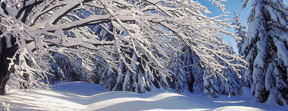

Verläuft parallel zur markierten „Bärensteinloipe“ durch den Wald (schattig) ca. 12 km hin und retour.
Ausgangspunkt: Grünwald (Parkplatz) oder „Blauer Hirsch“ in Sonnwald
Der Wanderweg beginn beim Gasthaus Panyhaus in Grünwald. Sie marschieren auf der Asphaltstraße in westliche Richtung dem Wald zu. Dort steigen sie in die Bärensteinloipe ein, die rechts weiterführt. (Christian Hoffmann Loipe verläuft geradeaus weiter). Anfangs beginnt sie leicht steigend und dann geht`s bergab bis Sonnwald zur Jausenstation „Blauer Hirsch“ und die gleiche Strecke wieder zurück!
Further information at
http://www.boehmerwald.atMapa trasy i profil wysokości
Minimum height 823 m
Maximum height 1011 m
More about the tour author
|
|
aigen-schlaegl |
Komentarze

GPS tracks
Trackpoints-
GPX / Garmin Map Source (gpx) download
-
TCX / Garmin Training Center® (tcx) download
-
CRS / Garmin Training Center® (crs) download
-
Google Earth (kml) download
-
G7ToWin (g7t) download
-
TTQV (trk) download
-
Overlay (ovl) download
-
Fugawi (txt) download
-
Kompass (DAV) Track (tk) download
-
Karta trasy (pdf) download
-
Original file of the author (gpx) download
More about the tour author
|
|
aigen-schlaegl |
Add to my favorites
Remove from my favorites
Edit tags
Open track
My score
Rate