Login

Zapomniałeś swój login?

Cookies have to be accepted!
Your browser's cookie functionality is disabled. Please enable this functionality.

Not a member yet?

Register now
Login

Available for registred users only

Log in to use this feature.

Zapomniałeś swój login?

Cookies have to be accepted!
Your browser's cookie functionality is disabled. Please enable this functionality.

Not a member yet?

Register now
Filter
Kategorie
Advanced filters
  • Długość (km)
  • Wysokość
Zapisz filtr Reset filter

TrackRank

QRCode

Technical data

Długość26,5 km Wysokość413 m Way down422 m Czas trwania02:00 h:m Data24.11.2010
Oceny Author Krajobraz Czynnik zadowolenia Kondycja Technika

Statystyka

1007 Widoki 1 Ocena 108 Downloads / Pliki do pobrania 1.00 Przeciętnie
Rate
  • Karta trasy
  • Dojazd
  • Downloads / Pliki do pobrania

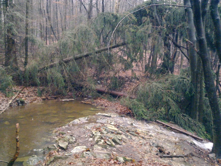
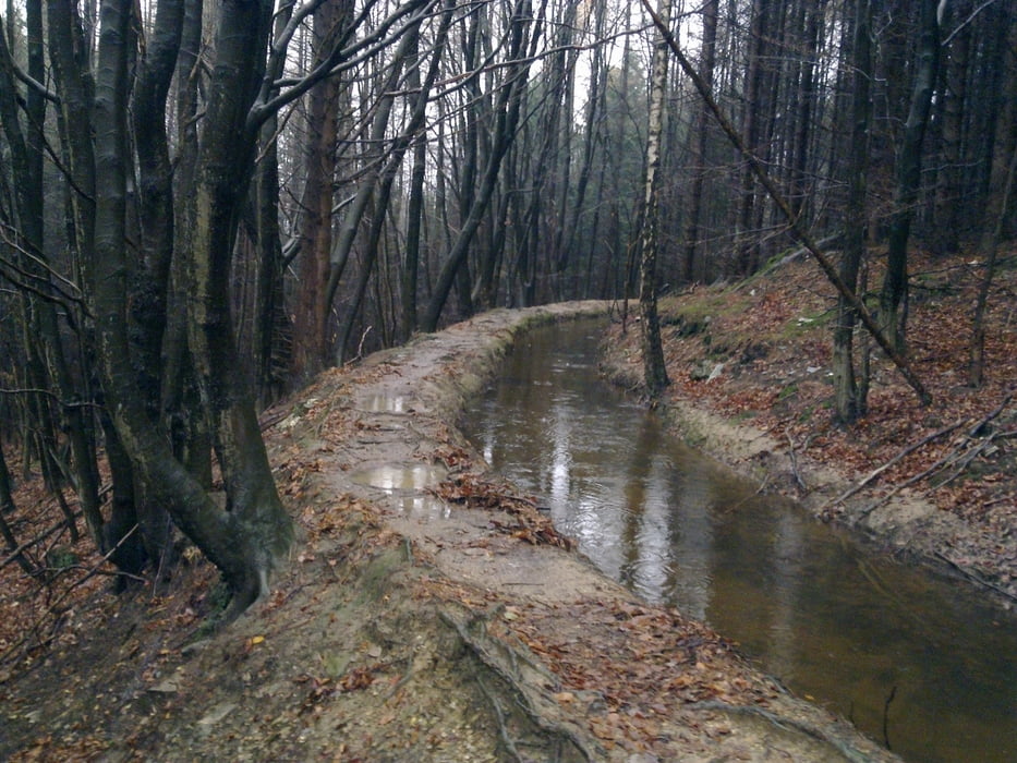
Bijzonder leuk rondje van dik 25 km met alleen maar onverharde weg dwars door het bos. Hoogtepunt is de lange single track langs een klein smal riviertje . Bij nat weer kan het er bijzonder glad zijn dus pas op.

Startpunt is Hotel Vichter Landhaus in Vicht-Stolberg. In het hotel kun je voor een zeer schappelijke prijs overnachten en uitstekend eten.

Galeria trasy

Mapa trasy i profil wysokości

  • Open Street Map
  • Google
Minimum height 191 m Maximum height 425 m Widok szczegółowy

More about the tour author

arnobekker
Member since 2010

Send private message

Komentarze

Start en aankomst bij Hotel Vichter Landhaus in Vicht.

GPS tracks

Trackpoints
  • GPX / Garmin Map Source (gpx) download
  • TCX / Garmin Training Center® (tcx) download
  • CRS / Garmin Training Center® (crs) download
  • Google Earth (kml) download
  • G7ToWin (g7t) download
  • TTQV (trk) download
  • Overlay (ovl) download
  • Fugawi (txt) download
  • Kompass (DAV) Track (tk) download
  • Karta trasy (pdf) download
  • Original file of the author (gpx) download

More about the tour author

arnobekker
Member since 2010

Send private message
Share track
Add to my favorites
Remove from my favorites
Edit tags
My score
Rate
Trasa: Zuid Vicht Hurtgenwald
Rodzaj: Rower górski (MTB)
Długość: 26,5 km
Evaluated on:
Czas trwania:
Day(s)
Hour(s)
Minute(s)
Ocena: Krajobraz Czynnik zadowolenia Kondycja Technika