Login

Zapomniałeś swój login?

Cookies have to be accepted!
Your browser's cookie functionality is disabled. Please enable this functionality.

Not a member yet?

Register now
Login

Available for registred users only

Log in to use this feature.

Zapomniałeś swój login?

Cookies have to be accepted!
Your browser's cookie functionality is disabled. Please enable this functionality.

Not a member yet?

Register now
Filter
Kategorie
Advanced filters
  • Długość (km)
  • Wysokość
Zapisz filtr Reset filter

TrackRank

QRCode

Technical data

Długość102,5 km Wysokość3107 m Way down2528 m Czas trwania00:00 h:m Data29.11.2010
Oceny Author Krajobraz Czynnik zadowolenia Kondycja Technika

Statystyka

402 Widoki Oceny 60 Downloads / Pliki do pobrania Przeciętnie
Rate
  • Karta trasy
  • Dojazd
  • Downloads / Pliki do pobrania

Es sind 2 Touren:

die 1.: mit dem Shuttle auf den Aussichtspunkt von St. Bartolomä und dann auf Schotter und Asphalt hinab. Leider ein kurzes Stück auf Schotter an einer stark befahrenen Strasse nach St. Agustin und am Strand entlang nach Playa del Ingles. (ca. 40 km, 400 hm rauf; 1.300 hm bergab).

Die 2. ist ein reiner Downhill: vom Cruz de Tejeda hinab nach Teror.(ca. 13km, 700 hm bergab).
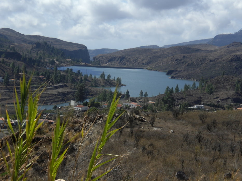
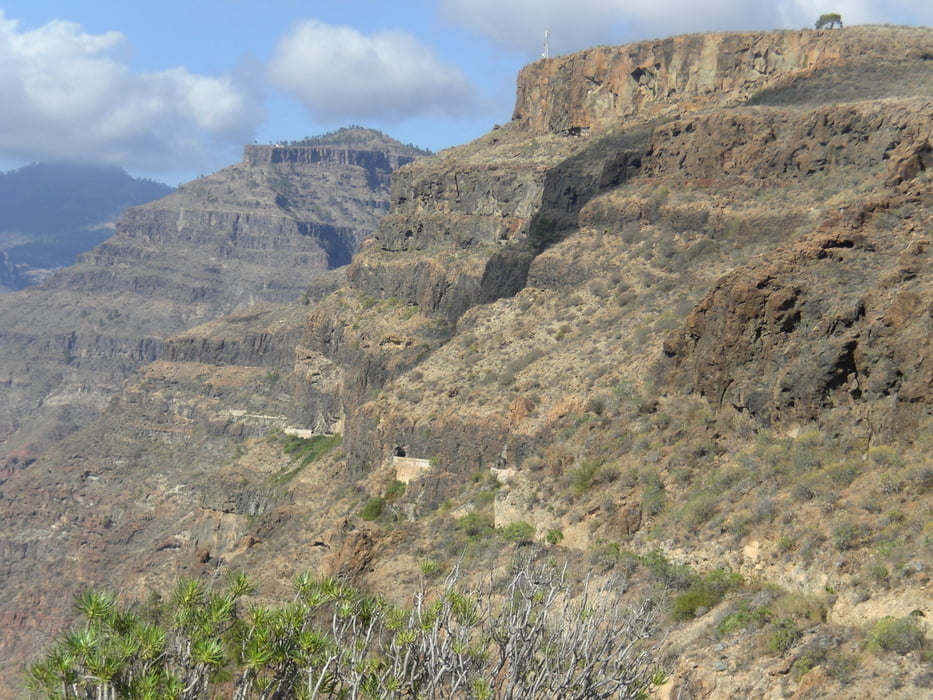


Galeria trasy

Mapa trasy i profil wysokości

  • Open Street Map
  • Google
Minimum height 17 m Maximum height 1638 m Widok szczegółowy

More about the tour author

Fruehaufsteher
Member since 2008

Send private message

Komentarze

GPS tracks

Trackpoints
  • GPX / Garmin Map Source (gpx) download
  • TCX / Garmin Training Center® (tcx) download
  • CRS / Garmin Training Center® (crs) download
  • Google Earth (kml) download
  • G7ToWin (g7t) download
  • TTQV (trk) download
  • Overlay (ovl) download
  • Fugawi (txt) download
  • Kompass (DAV) Track (tk) download
  • Karta trasy (pdf) download
  • Original file of the author (gpx) download

More about the tour author

Fruehaufsteher
Member since 2008

Send private message
Share track
Add to my favorites
Remove from my favorites
Edit tags
My score
Rate
Trasa: Kanaren-Tours
Rodzaj: Rower górski (MTB)
Długość: 102,5 km
Evaluated on:
Czas trwania:
Day(s)
Hour(s)
Minute(s)
Ocena: Krajobraz Czynnik zadowolenia Kondycja Technika