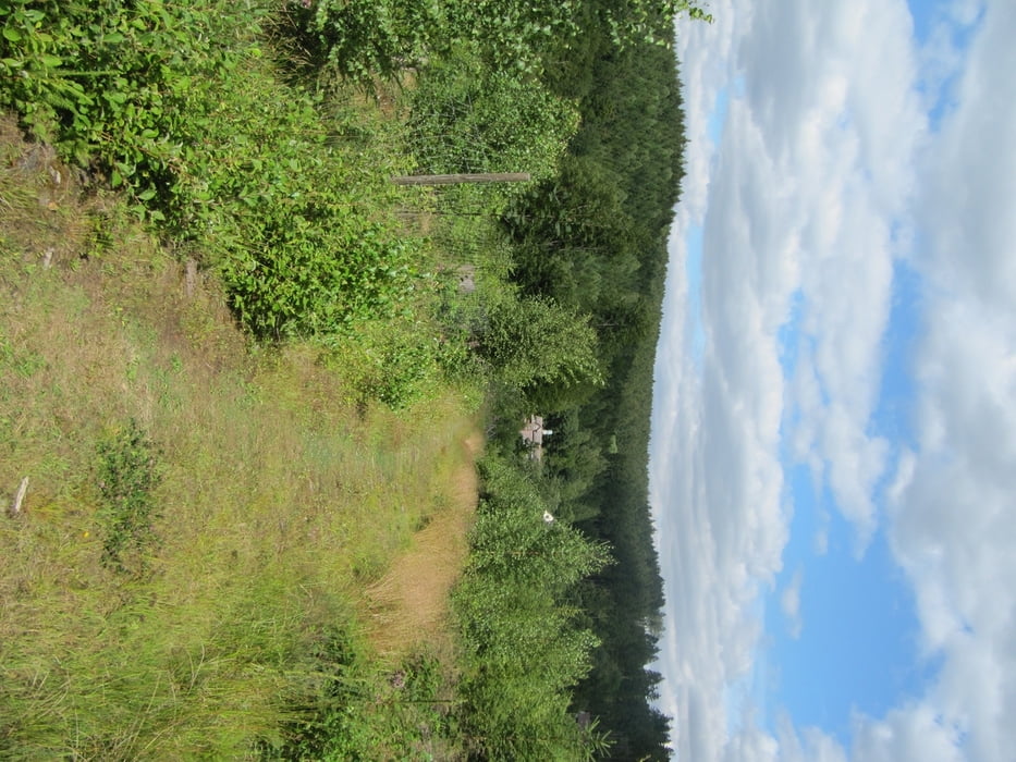
Eine herrliche Tour für geübte Mountainbiker. Es geht los in Höxter einem urigen kleinen Städtchen mit vielen Fachwerkhäusern. Gleich hinter der Statdgrenze geht es aber schon steil bergauf durch dichte Wälder in den Naturpark Solling Vogler. Die Tour ist sehr abwechselungsreich und führt über kleine Straßen, Waldwege und Singletrails.
Galeria trasy
Mapa trasy i profil wysokości
Minimum height 82 m
Maximum height 525 m
Komentarze

GPS tracks
Trackpoints-
GPX / Garmin Map Source (gpx) download
-
TCX / Garmin Training Center® (tcx) download
-
CRS / Garmin Training Center® (crs) download
-
Google Earth (kml) download
-
G7ToWin (g7t) download
-
TTQV (trk) download
-
Overlay (ovl) download
-
Fugawi (txt) download
-
Kompass (DAV) Track (tk) download
-
Karta trasy (pdf) download
-
Original file of the author (gpx) download
Add to my favorites
Remove from my favorites
Edit tags
Open track
My score
Rate


