Login

Zapomniałeś swój login?

Cookies have to be accepted!
Your browser's cookie functionality is disabled. Please enable this functionality.

Not a member yet?

Register now
Login

Available for registred users only

Log in to use this feature.

Zapomniałeś swój login?

Cookies have to be accepted!
Your browser's cookie functionality is disabled. Please enable this functionality.

Not a member yet?

Register now
Filter
Kategorie
Advanced filters
  • Długość (km)
  • Wysokość
Zapisz filtr Reset filter

TrackRank

QRCode

Technical data

Długość31,6 km Wysokość425 m Way down440 m Czas trwania02:30 h:m Data18.12.2010
Oceny Author Krajobraz Czynnik zadowolenia Kondycja Technika

Statystyka

559 Widoki Oceny 26 Downloads / Pliki do pobrania Przeciętnie
Rate
  • Karta trasy
  • Dojazd
  • Downloads / Pliki do pobrania


21.11.2010

letzte Tour vor der Winterpause

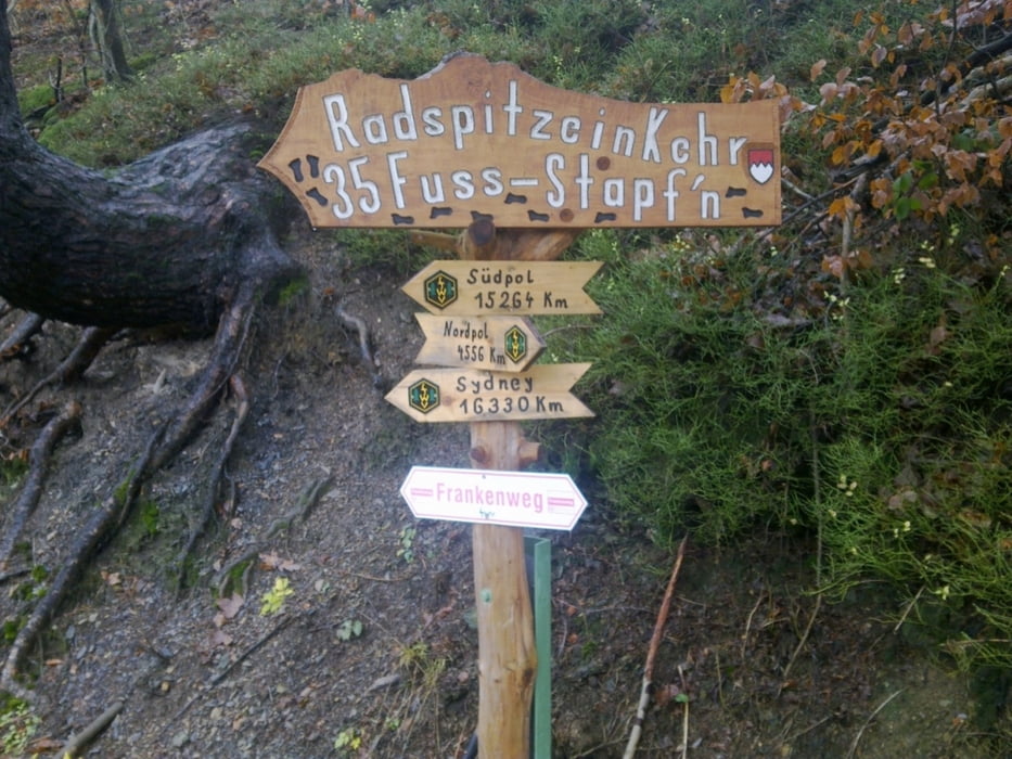
Startpunkt: von Vogtendorf über den Radweg nach Marktrodach, rechts Richtung Seibelsdorf. Die Radspitz (630m) hoch nach Mittelberg. Den höhenweg rechts an Oberehesberg vorbei nach Geuser. Nach dem verdienten aufstieg von (400m) zu (600m) eine lange kurzvenreiche abfahrt nach Wallenfels(360m). Den Radweg über Erlabrück, Zeyern, Marktrodach Richtung Kronach.

Bilder folgen.

Galeria trasy

Mapa trasy i profil wysokości

  • Open Street Map
  • Google
Minimum height 307 m Maximum height 665 m Widok szczegółowy

More about the tour author

DirkSchulz
Member since 2010

Send private message

Komentarze

GPS tracks

Trackpoints
  • GPX / Garmin Map Source (gpx) download
  • TCX / Garmin Training Center® (tcx) download
  • CRS / Garmin Training Center® (crs) download
  • Google Earth (kml) download
  • G7ToWin (g7t) download
  • TTQV (trk) download
  • Overlay (ovl) download
  • Fugawi (txt) download
  • Kompass (DAV) Track (tk) download
  • Karta trasy (pdf) download
  • Original file of the author (gpx) download

More about the tour author

DirkSchulz
Member since 2010

Send private message
Share track
Add to my favorites
Remove from my favorites
Edit tags
My score
Rate
Trasa: Frankenweg, Radspitz
Rodzaj: Rower górski (MTB)
Długość: 31,6 km
Evaluated on:
Czas trwania:
Day(s)
Hour(s)
Minute(s)
Ocena: Krajobraz Czynnik zadowolenia Kondycja Technika