


Durch die Täler von Aich und Schaich
Der Start ist am Parkplatz vor der Burkhardtsmühle.
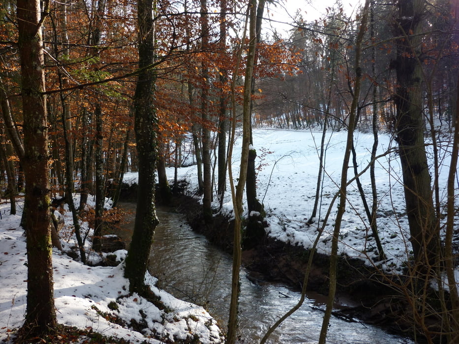
Es geht an der Aich weiter bis nach Neuenhaus. Dort lohnt sich der Besuch des Häfnermuseums. Hinunter an die Schaich, das Schaichtal hinauf. Über den Betzenberg und am Funkturm vorbei zurück zur Burkhardsmühle.
An der Strecke sind mehrere schöne Grillplätze angelegt.
Further information at
http://siebenmuehlental.gwanner.dyndns.org/burkhardtsmuehle.htmlGaleria trasy


Mapa trasy i profil wysokości
Minimum height 326 m
Maximum height 509 m
More about the tour author
|
|
Seili |
Komentarze

Von Waldenbuch und Nürtingen bzw. Neuenhaus kommend auf der L 1185 zur Burkhardtsmühle.
GPS tracks
Trackpoints-
GPX / Garmin Map Source (gpx) download
-
TCX / Garmin Training Center® (tcx) download
-
CRS / Garmin Training Center® (crs) download
-
Google Earth (kml) download
-
G7ToWin (g7t) download
-
TTQV (trk) download
-
Overlay (ovl) download
-
Fugawi (txt) download
-
Kompass (DAV) Track (tk) download
-
Karta trasy (pdf) download
-
Original file of the author (gpx) download
More about the tour author
|
|
Seili |
Add to my favorites
Remove from my favorites
Edit tags
Open track
My score
Rate