Login

Zapomniałeś swój login?

Cookies have to be accepted!
Your browser's cookie functionality is disabled. Please enable this functionality.

Not a member yet?

Register now
Login

Available for registred users only

Log in to use this feature.

Zapomniałeś swój login?

Cookies have to be accepted!
Your browser's cookie functionality is disabled. Please enable this functionality.

Not a member yet?

Register now
Filter
Kategorie
Advanced filters
  • Długość (km)
  • Wysokość
Zapisz filtr Reset filter

TrackRank

QRCode

Technical data

Długość8,3 km Wysokość548 m Way down536 m Czas trwania05:00 h:m Data28.12.2010
Oceny Author User Krajobraz Czynnik zadowolenia Kondycja Technika

Statystyka

1163 Widoki 1 Ocena 270 Downloads / Pliki do pobrania 5.00 Przeciętnie
Rate
  • Karta trasy
  • Dojazd
  • Downloads / Pliki do pobrania

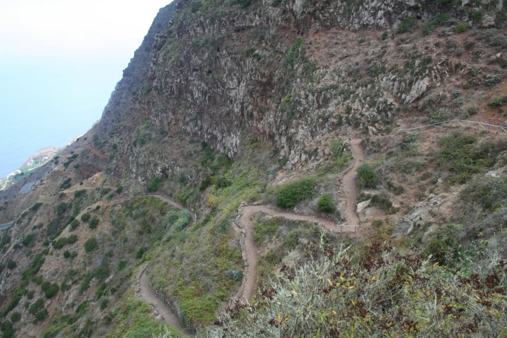
Es handelt sich um eine großartige Wanderung, die zunächst mit einem sehr steilen Anstieg beginnt, dann durch ein Hochtal zum Besucherzentrum nördlich von Agulo führt.

Galeria trasy

Mapa trasy i profil wysokości

  • Open Street Map
  • Google
Minimum height 203 m Maximum height 707 m Widok szczegółowy

More about the tour author

tom_ac
Member since 2010

Send private message

Komentarze

Islandmen on 17.12.2014

Abwechslungsreiche Tour

Habe mich heute spontan entschieden diese Tour zu machen und es nicht bereut. Der Anstieg über die Rote Wand ist anstrengend aber auch mit mittlerer Kondition machbar.
Oben im Aussichtsrestaurant mag man wohl keine Wanderer. Beim betreten wurde ich gleich freundlich angeraunzt, "No sticks please". Was haben meine Wanderstöcke denn böses getan? Bin dann wortlos weitergegangen.
Die Tour ist sehr abweschslungsreich, mit tollen Aussichten. Sehr zu empfehlen !
Danke für das veröffendlichen des Tracks.

Agulo liegt an der Nordost Küste der Insel und kann vom zentralen Plateau aus über die TF711 erreicht werden

GPS tracks

Trackpoints
  • GPX / Garmin Map Source (gpx) download
  • TCX / Garmin Training Center® (tcx) download
  • CRS / Garmin Training Center® (crs) download
  • Google Earth (kml) download
  • G7ToWin (g7t) download
  • TTQV (trk) download
  • Overlay (ovl) download
  • Fugawi (txt) download
  • Kompass (DAV) Track (tk) download
  • Karta trasy (pdf) download
  • Original file of the author (gpx) download

More about the tour author

tom_ac
Member since 2010

Send private message
Share track
Add to my favorites
Remove from my favorites
Edit tags
My score
Rate
Trasa: Rote Wand bei Agulo
Rodzaj: Wędrówki
Długość: 8,3 km
Evaluated on:
Czas trwania:
Day(s)
Hour(s)
Minute(s)
Ocena: Krajobraz Czynnik zadowolenia Kondycja Technika