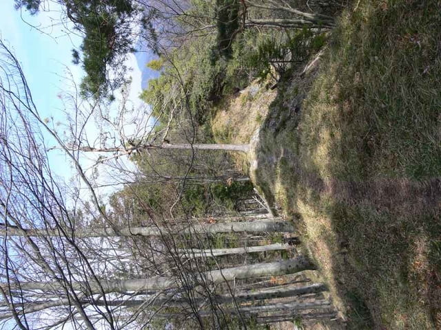
Tour auf den Türnitzer Höger, Ausgehend vom Bahnhof Hohenberg. Der Gipfel bietet neben dem Türnitzer Schutzhaus einen herrlichen Rundblick auf Rax, Schneeberg, Göller, Gippel und Hochschwab. Die Türnitzerhütte hat nur am Wochenende und Feiertagen geöffnet
Further information at
http://www.tuernitzerhuette.gebirgsverein.atGaleria trasy
Mapa trasy i profil wysokości
Minimum height 372 m
Maximum height 1376 m
Komentarze

A1 Abfahrt St. Pölten Süd in Richtung Lilienfeld - Hohenberg. Diverse Parkmöglichkeiten im Bereich des Bahnhofes und der Kirche.
GPS tracks
Trackpoints-
GPX / Garmin Map Source (gpx) download
-
TCX / Garmin Training Center® (tcx) download
-
CRS / Garmin Training Center® (crs) download
-
Google Earth (kml) download
-
G7ToWin (g7t) download
-
TTQV (trk) download
-
Overlay (ovl) download
-
Fugawi (txt) download
-
Kompass (DAV) Track (tk) download
-
Karta trasy (pdf) download
-
Original file of the author (gpx) download
Add to my favorites
Remove from my favorites
Edit tags
Open track
My score
Rate

