


Tourbeschreibung
Start der Tour: Hotel Villa Franca, Torbole sul Garda, Via Lungo Sarca 8.
Diese Tour eignet sich zum Einradeln am Ankunftstag oder als kleine Abwechslung für zwischendurch.
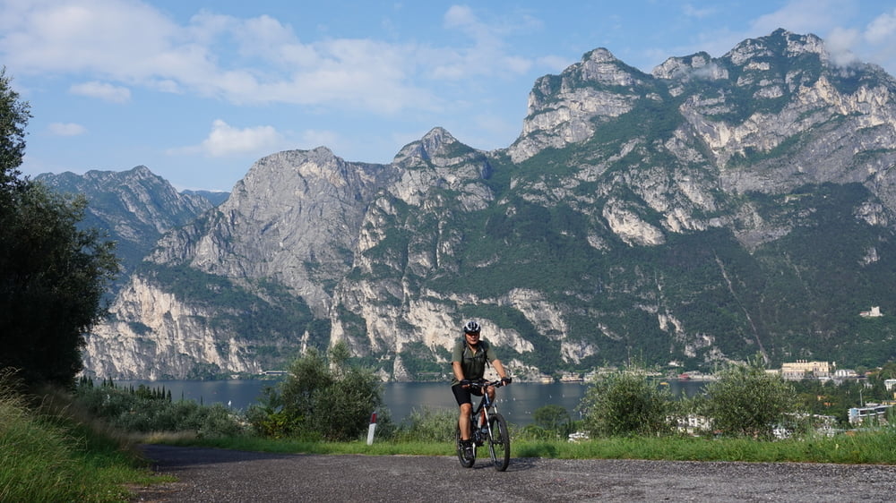
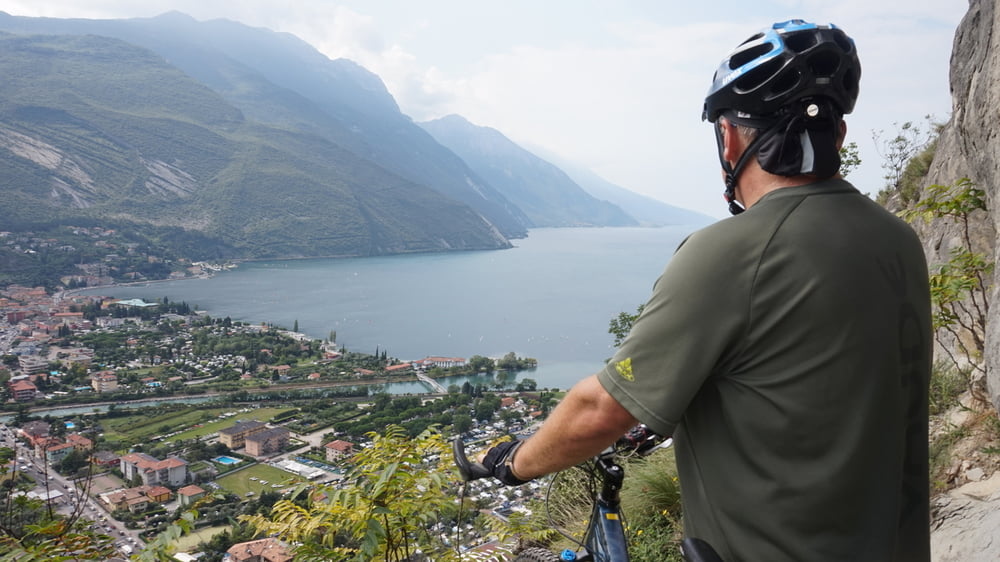
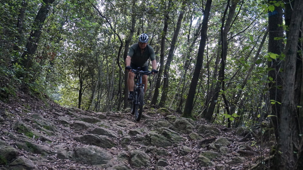
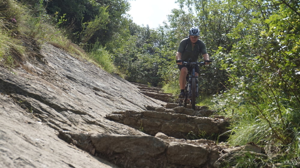
Am Gardasee entlang verläuft die Tour in Richtung Riva und nach dem Tunnel, rechts, bergauf zum Monte Brione. Der Weg ist umsäumt von alten Olivenbäumen und vom Gipfel hat man einen beeindruckenden Blick auf den See und die mächtigen Berge. Am Ende der Bergstraße müssen noch ein paar Meter zu Fuß zurückgelegt werden um den Gipfel zu erreichen. Nach einem Abstecher auf den Bunker (Batteria Di Mezzo) und zum Gipfelkreuz, folgt ein anspruchsvoller Trail hinunter nach Riva. Zum Abschluss der Tour wird der Monte Brione umfahren, bevor der Radweg an der Sarca zurück nach Torbole führt.
Further information at
http://www.elm-freizeit.deGaleria trasy
Mapa trasy i profil wysokości
Minimum height 72 m
Maximum height 359 m
More about the tour author
|
|
mtb-tom |
Komentarze

Start der Tour ist am Hotel Villa Franca in Torbole
GPS tracks
Trackpoints-
GPX / Garmin Map Source (gpx) download
-
TCX / Garmin Training Center® (tcx) download
-
CRS / Garmin Training Center® (crs) download
-
Google Earth (kml) download
-
G7ToWin (g7t) download
-
TTQV (trk) download
-
Overlay (ovl) download
-
Fugawi (txt) download
-
Kompass (DAV) Track (tk) download
-
Karta trasy (pdf) download
-
Original file of the author (gpx) download
More about the tour author
|
|
mtb-tom |
Add to my favorites
Remove from my favorites
Edit tags
Open track
My score
Rate