
")

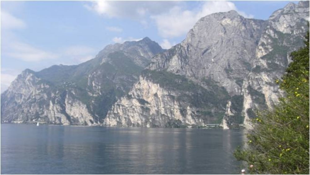
Eine Tour für konditionsstarke Biker mit gigantischen Aussichten über den See und zum Monte Baldo Massiv.
Start der Tour ist in Torbole an der Fußgängerbrücke über die Sarca.
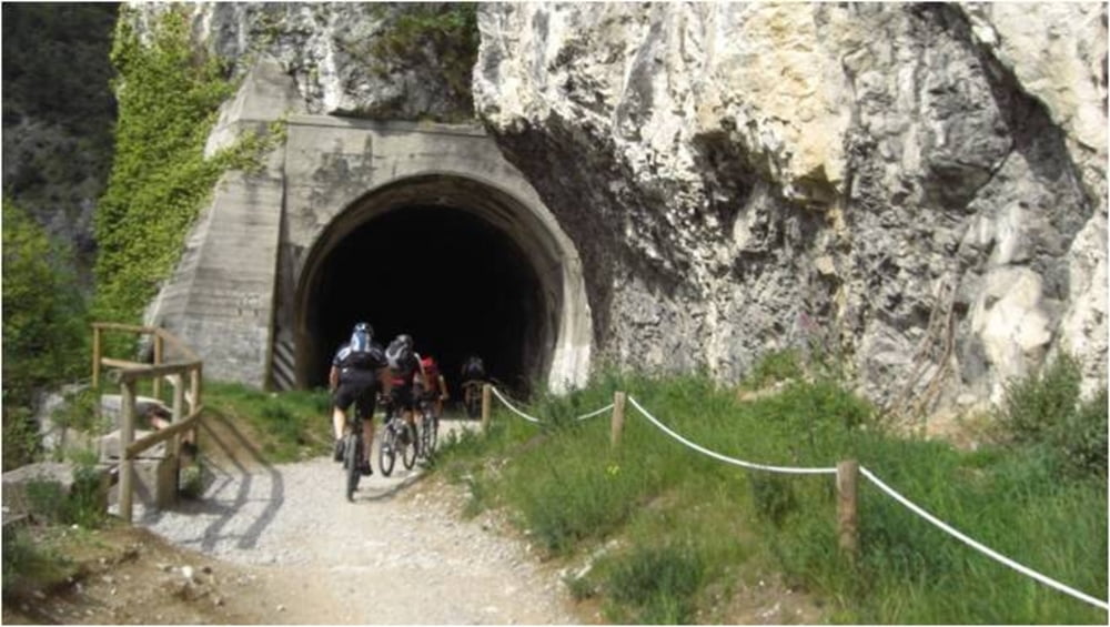
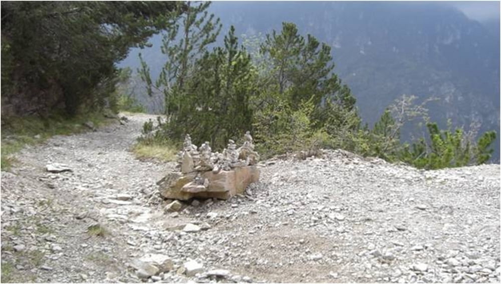
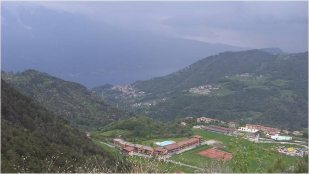
Über die Ponale und durch das Ledrotal geht es bis zur ersten Pause am Ledrosee. Der jetzt beginnende Aufstieg zum Passo Nota setzt einige Kondition voraus. Nach der zweiten Pause im Rif. Degli Alpini folgen die letzten Höhenmeter bis es dann auf einer Schotterpiste mit einigen Tunnel abwärts bis Tremosine geht. Ab hier führt uns eine asphaltierte Straße zum Fähranleger in Limone und die Fähre bringt uns zurück nach Torbole.
Galeria trasy
Mapa trasy i profil wysokości
Minimum height 55 m
Maximum height 1328 m
More about the tour author
|
|
mtb-tom |
Komentarze

GPS tracks
Trackpoints-
GPX / Garmin Map Source (gpx) download
-
TCX / Garmin Training Center® (tcx) download
-
CRS / Garmin Training Center® (crs) download
-
Google Earth (kml) download
-
G7ToWin (g7t) download
-
TTQV (trk) download
-
Overlay (ovl) download
-
Fugawi (txt) download
-
Kompass (DAV) Track (tk) download
-
Karta trasy (pdf) download
-
Original file of the author (gpx) download
More about the tour author
|
|
mtb-tom |
Add to my favorites
Remove from my favorites
Edit tags
Open track
My score
Rate