


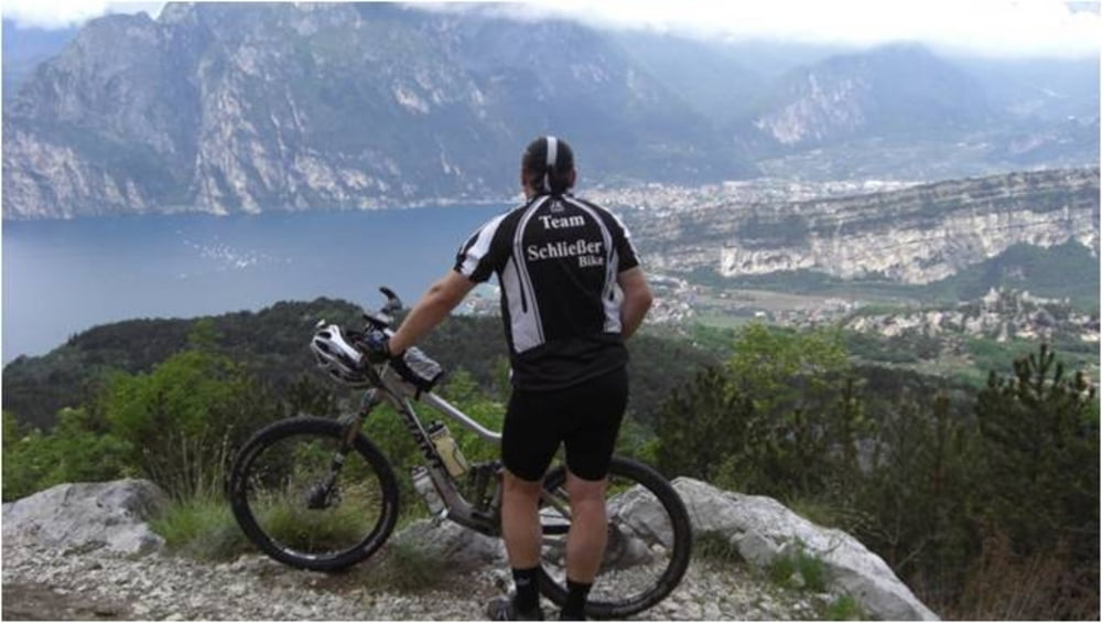
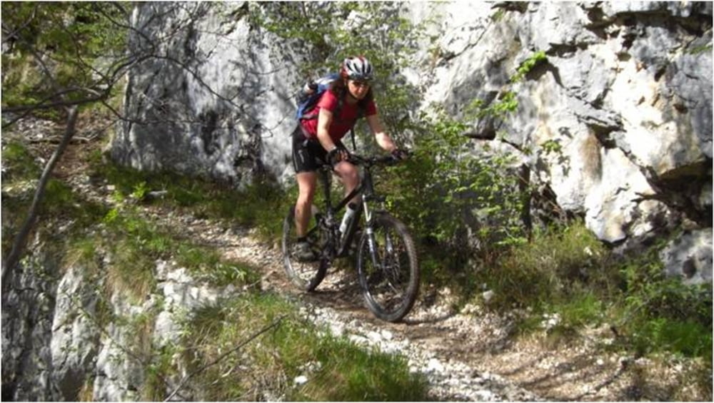
Eine Tour mit herrlichem Panorama und einem anspruchsvollen Trail hinab nach Navene. Für die Rückfahrt auf der Straße von Navene durch die Tunnel nach Torbole ist Beleuchtung am Rad sinnvoll.
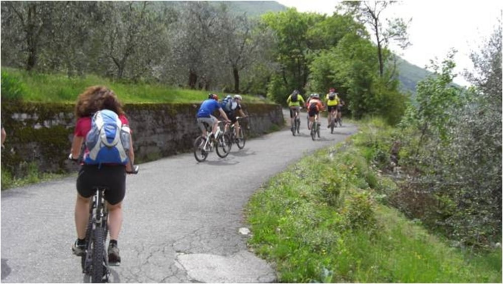
Start der Tour ist in Torbole an der Fußgängerbrücke über die Sarca.
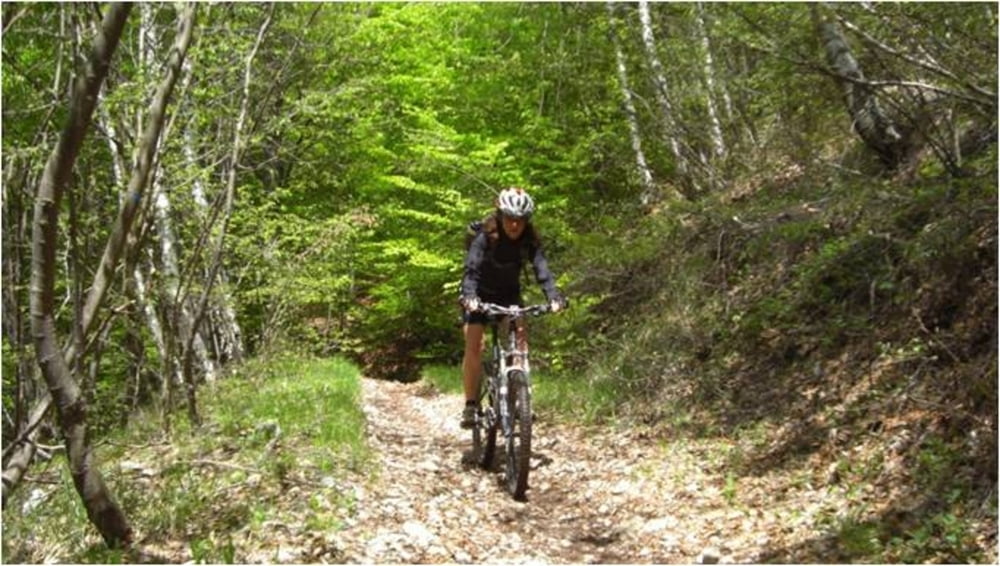
Über die Monte Baldo Straße geht es hinauf bis zu den Antennenmasten. Kurz vorher geht es rechts auf der Schotterstraße bis zum Sentiero 6. Dieser bringt uns in unendlich vielen Kehren über Wurzel- und Felsenpassagen vorbei am Dosso die Roveri hinunter nach Navene. Bei allem Fahrspaß sollte man zwischendurch jedoch nicht vergessen die beeindruckende Aussicht zu genießen.
Galeria trasy
Mapa trasy i profil wysokości
Minimum height 61 m
Maximum height 1167 m
More about the tour author
|
|
mtb-tom |
Komentarze

GPS tracks
Trackpoints-
GPX / Garmin Map Source (gpx) download
-
TCX / Garmin Training Center® (tcx) download
-
CRS / Garmin Training Center® (crs) download
-
Google Earth (kml) download
-
G7ToWin (g7t) download
-
TTQV (trk) download
-
Overlay (ovl) download
-
Fugawi (txt) download
-
Kompass (DAV) Track (tk) download
-
Karta trasy (pdf) download
-
Original file of the author (gpx) download
More about the tour author
|
|
mtb-tom |
Add to my favorites
Remove from my favorites
Edit tags
Open track
My score
Rate