Login

Zapomniałeś swój login?

Cookies have to be accepted!
Your browser's cookie functionality is disabled. Please enable this functionality.

Not a member yet?

Register now
Login

Available for registred users only

Log in to use this feature.

Zapomniałeś swój login?

Cookies have to be accepted!
Your browser's cookie functionality is disabled. Please enable this functionality.

Not a member yet?

Register now
Filter
Kategorie
Advanced filters
  • Długość (km)
  • Wysokość
Zapisz filtr Reset filter

TrackRank

QRCode

Technical data

Długość66,4 km Wysokość1459 m Way down1465 m Czas trwania05:00 h:m Data13.01.2011
Oceny Author User Krajobraz Czynnik zadowolenia Kondycja Technika

Statystyka

726 Widoki 1 Ocena 139 Downloads / Pliki do pobrania 5.00 Przeciętnie
Rate
  • Karta trasy
  • Dojazd
  • Downloads / Pliki do pobrania

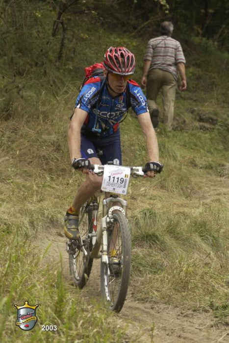
 Track of the 2010 edition of this beautiful tour through a lesser known part of the Belgian Ardennes.

Endless forests...

Mapa trasy i profil wysokości

  • Open Street Map
  • Google
Minimum height 172 m Maximum height 429 m Widok szczegółowy

More about the tour author

ElBaelos
Member since 2011

Send private message

Komentarze

sjev on 31.05.2014

private section in the track

A section on 64 km mark is now closed as being private. You can still pass the 'private' sign and a road barrier as we did. You don't pass houses or anything there, just a part of private forest.

GPS tracks

Trackpoints
  • GPX / Garmin Map Source (gpx) download
  • TCX / Garmin Training Center® (tcx) download
  • CRS / Garmin Training Center® (crs) download
  • Google Earth (kml) download
  • G7ToWin (g7t) download
  • TTQV (trk) download
  • Overlay (ovl) download
  • Fugawi (txt) download
  • Kompass (DAV) Track (tk) download
  • Karta trasy (pdf) download
  • Original file of the author (tcx) download

More about the tour author

ElBaelos
Member since 2011

Send private message
Share track
Add to my favorites
Remove from my favorites
Edit tags
My score
Rate
Trasa: Transforestière Tellin
Rodzaj: Rower górski (MTB)
Długość: 66,4 km
Evaluated on:
Czas trwania:
Day(s)
Hour(s)
Minute(s)
Ocena: Krajobraz Czynnik zadowolenia Kondycja Technika