


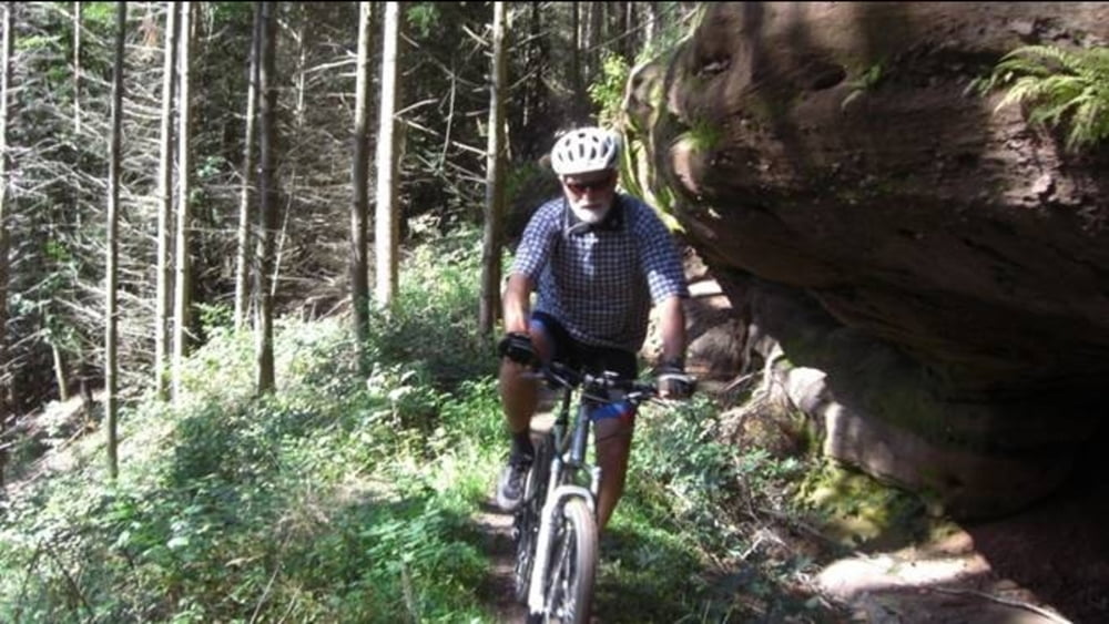
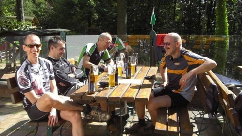
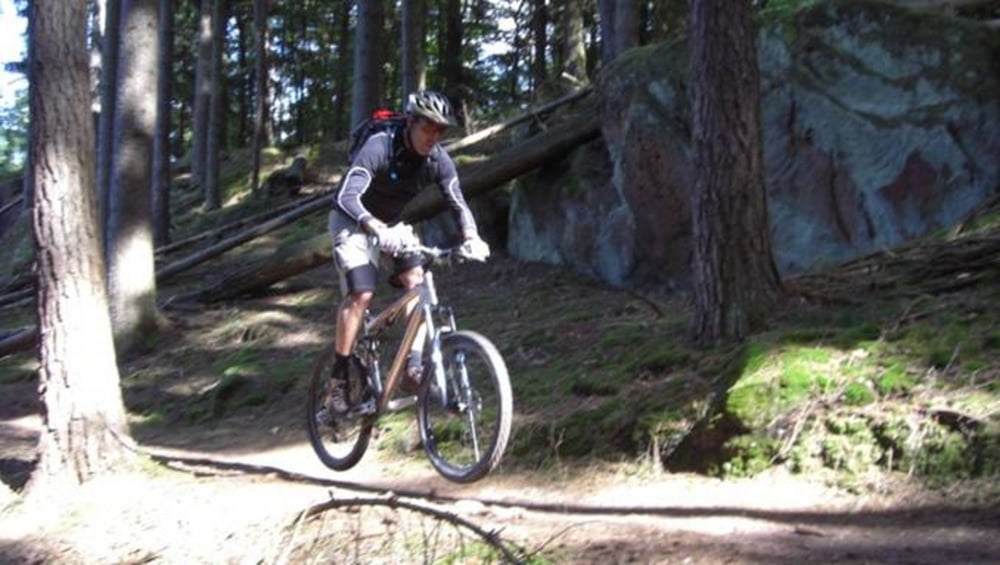
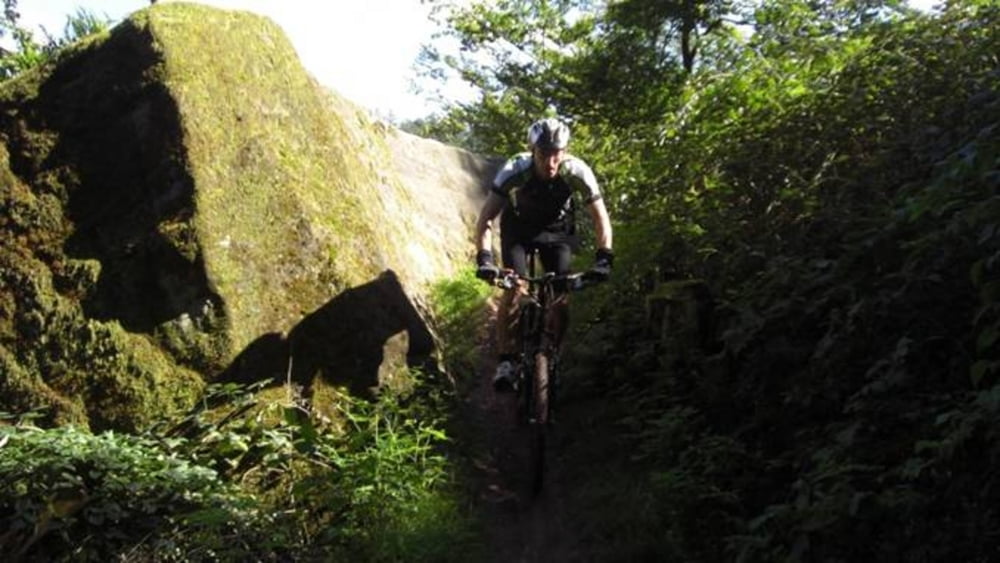
Die Tour beginnt in Wallhalben am Hotel Landgrafenmühle, führt über leichte Radwege nach Thaleischweiler und weiter nach Rodalben, wo wir auf den Felsenwanderweg einfahren. Dieser abwechslungsreiche und anspruchsvolle Wanderweg mit vielen knackigen Trailpassagen, leitet uns in vielen Schleifen um Rodalben. Zur Mittagspause bietet sich das Hilschberghaus, eine Pfälzerwaldhütte, an.
Wer den Felsenwanderweg nicht bis zum Ende fahren möchte, kann ihn jederzeit verlassen und über Rodalben zurück zum Ausgangspunkt in Wallhalben fahren.
Further information at
http://www.Schliesser-Bike.deGaleria trasy
Mapa trasy i profil wysokości
Minimum height 238 m
Maximum height 364 m
More about the tour author
|
|
mtb-tom |
Komentarze

GPS tracks
Trackpoints-
GPX / Garmin Map Source (gpx) download
-
TCX / Garmin Training Center® (tcx) download
-
CRS / Garmin Training Center® (crs) download
-
Google Earth (kml) download
-
G7ToWin (g7t) download
-
TTQV (trk) download
-
Overlay (ovl) download
-
Fugawi (txt) download
-
Kompass (DAV) Track (tk) download
-
Karta trasy (pdf) download
-
Original file of the author (gpx) download
More about the tour author
|
|
mtb-tom |
Add to my favorites
Remove from my favorites
Edit tags
Open track
My score
Rate