


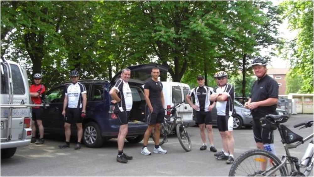
Die Tour startet in Schöppenstedt auf dem Parkplatz am Schwimmbad.
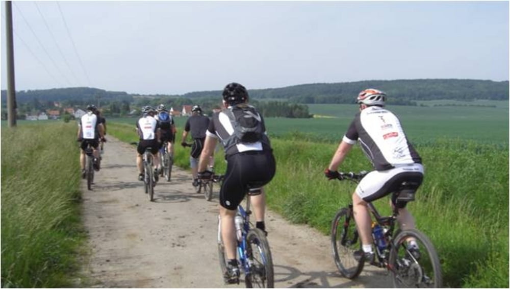
Sie ist als Einsteigertour gedacht, beinhaltet aber auch interessante Trails und kurze knackige Steigungen. In Schöppenstedt folgen wir ein Stück dem Eulenspiegelradweg, fahren dann aber über Groß Vahlberg, vorbei an der Grabstätte der Familie Münchhausen, in die Asse. Vom Bismarckturm folgen wir dem Trail in Richtung Westen, um uns wieder auf den Höhenweg zu „quälen“. Der Höhenweg bringt uns bis an den Ostrand der Asse und über Klein Vahlberg kommen wir zurück zu unserem Ausgangspunkt in Schöppenstedt.
Further information at
http://www.Schliesser-Bike.deGaleria trasy
Mapa trasy i profil wysokości
Minimum height 95 m
Maximum height 232 m
More about the tour author
|
|
mtb-tom |
Komentarze

GPS tracks
Trackpoints-
GPX / Garmin Map Source (gpx) download
-
TCX / Garmin Training Center® (tcx) download
-
CRS / Garmin Training Center® (crs) download
-
Google Earth (kml) download
-
G7ToWin (g7t) download
-
TTQV (trk) download
-
Overlay (ovl) download
-
Fugawi (txt) download
-
Kompass (DAV) Track (tk) download
-
Karta trasy (pdf) download
-
Original file of the author (gpx) download
More about the tour author
|
|
mtb-tom |
Add to my favorites
Remove from my favorites
Edit tags
Open track
My score
Rate