


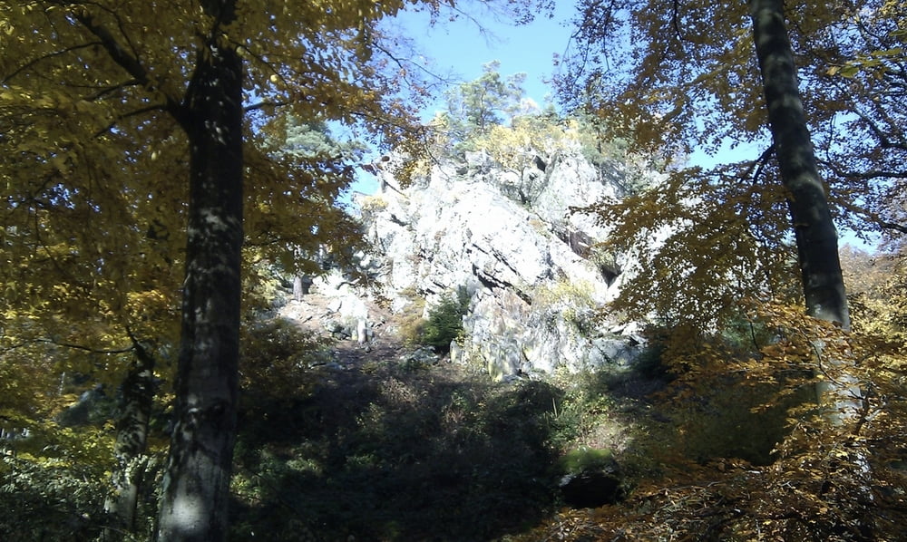
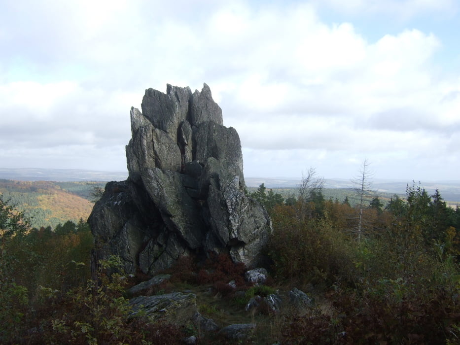
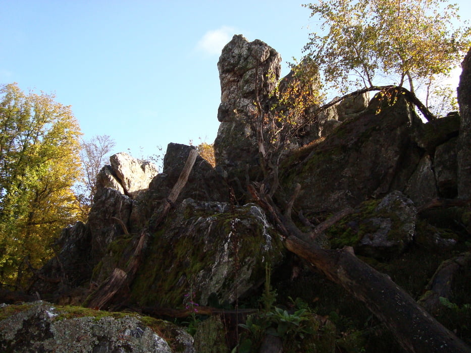
Auf der Rundfahrt von Laubach über Schinderhannesradweg bis Lingerhahn>Nenzhäuserhof>Birkheim>Badenhard>Niederburg>Lingerhahn>Laubach werden 5 Felsen angefahren. Mit herrlichen aussichten in den Hunsrück, ins Rheintal beim Niederburger Sportplatz und in den Taunus. Die Bilder können nur kleine Ausschnitte zeigen die zu sehen sind. Diese Tour ist ein muss für alle die meinen den Vorderhunsrück zu kennen oder kennen lernen zu wollen. Die Strecke ist sehr abgelegen und führt durch Wald, Wald und nochmals Wald. Ich bin die Tour schon mehrmals gefahren einfach ein Traum der nicht langweilig wird.
Further information at
http://www.fahrrad-binz.de/Galeria trasy

Mapa trasy i profil wysokości
Minimum height 277 m
Maximum height 563 m
More about the tour author
|
|
Dakota_20 |
Komentarze

GPS tracks
Trackpoints-
GPX / Garmin Map Source (gpx) download
-
TCX / Garmin Training Center® (tcx) download
-
CRS / Garmin Training Center® (crs) download
-
Google Earth (kml) download
-
G7ToWin (g7t) download
-
TTQV (trk) download
-
Overlay (ovl) download
-
Fugawi (txt) download
-
Kompass (DAV) Track (tk) download
-
Karta trasy (pdf) download
-
Original file of the author (gpx) download
More about the tour author
|
|
Dakota_20 |
Add to my favorites
Remove from my favorites
Edit tags
Open track
My score
Rate