


Diese Tour habe ich mir zu Beginn vorgenommen. Laut meines Wanderführers ist diese Tour auch eine mittelschwere. Der Garajonay ist ein an der "Spitze" ca 1500m hohes Hochplateau, von wo aus man bei guten Wetter eine fabelhafte Sicht auf die Umliegenden Wälder und natürlich auch auf die nicht fernen Nachbarinseln hat. Es ist ein ergreifendes Panorama über die Wolken auf den Teide, Spaniens höchsten Berg zu blicken!
Größtenteils führt die Wanderung durch den sagenumwobenen Nebelwald. Als Ausgangspunkt habe ich La Laguna Grande gewählt, hier gibt es ausreichend Parkplätze an dem großen, offenen Waldgrillplatz.
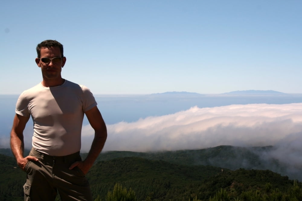
Tritt man aus den alles umgebenen Wolken heraus, lichtet sich auch bald der Wald und gibt den Blick frei...
Der Abstieg führt ebenfalls auf gut begehbaren Wegen leicht bergab
Galeria trasy


Mapa trasy i profil wysokości
Minimum height 1239 m
Maximum height 1499 m
More about the tour author
|
|
tom_ac |
Komentarze

GPS tracks
Trackpoints-
GPX / Garmin Map Source (gpx) download
-
TCX / Garmin Training Center® (tcx) download
-
CRS / Garmin Training Center® (crs) download
-
Google Earth (kml) download
-
G7ToWin (g7t) download
-
TTQV (trk) download
-
Overlay (ovl) download
-
Fugawi (txt) download
-
Kompass (DAV) Track (tk) download
-
Karta trasy (pdf) download
-
Original file of the author (gpx) download
More about the tour author
|
|
tom_ac |
Add to my favorites
Remove from my favorites
Edit tags
Open track
My score
Rate