


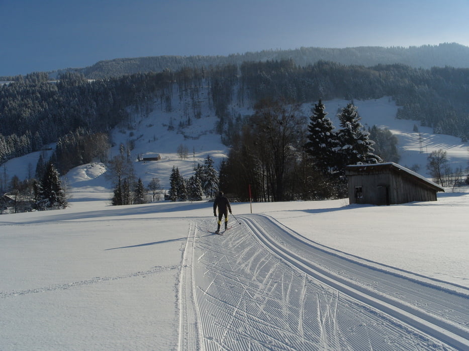
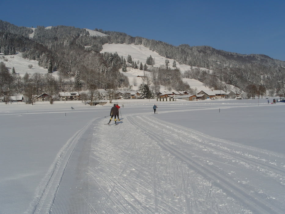
3Loipen mit Skatingspur zusammengefaßt: vom Hündlelift zum Alpsee und zurück:
- Hündle - Loipe 6,3km
- Konstanzer - Loipe 3,3km und
- Ratholz - Loipe 6,6km.
Die 3Loipen sind recht eben und einfach, so daß Anfänger keine Schwierigkeiten haben sollten. Die Hündle - Loipe hat dabei die stärksten Anstiege. Man kann Runden von 3-17km fahren. Weitere Verlängerungen sind möglich:
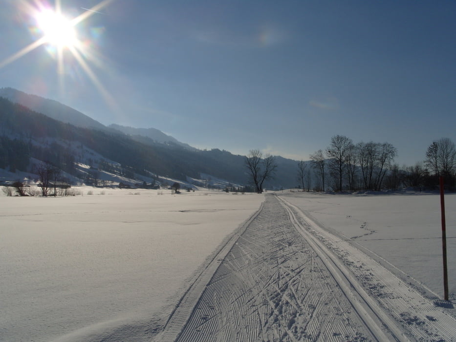
a) am Alpsee den Schienen entlang - war nicht präpariert
b) Richtung Oberstaufen - hier öffnet ebenfalls sich ein weites Revier. Der Abzweig ist ca. 300m vor dem Parkplatz der Hündlebahn (von Thalkirchdorf kommend). Dort ist eine Unterführung unter der B308 durch (Verbindungsloipe).
Beim Ort Konstanzer habe ich etwas abgekürzt, den richtigen Weg habe ich aber eingezeichnet (+2km), zurück bin ich auf der regulären Loipe gelaufen.
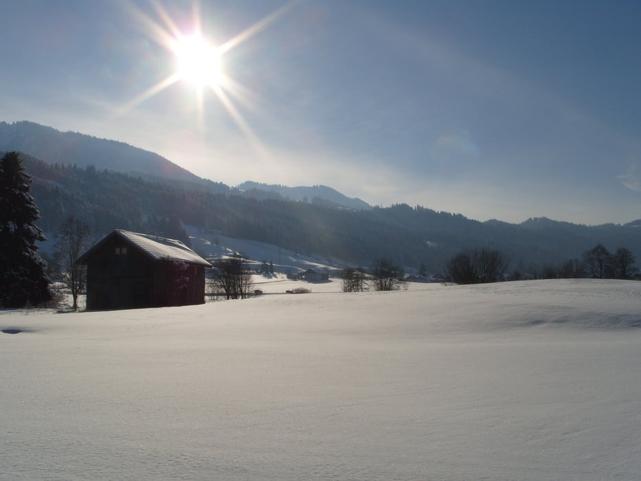
Problemlos parken kann man in Thalkirchdorf am Freibad. Alternativ an der Hündlebahn oder am Skilift Thalkirchdorf (Privatparkplätze).
Further information at
http://oberstaufen.de/natur/winter/langlaufen/Galeria trasy
Mapa trasy i profil wysokości
Minimum height 721 m
Maximum height 752 m
More about the tour author
|
|
skyhopper |
Komentarze

Auf der B308 Lindau Immenstadt (Queralpenstrasse) bis Thalkirchdorf, dort am Parkplatz vom Freibad parken.
GPS tracks
Trackpoints-
GPX / Garmin Map Source (gpx) download
-
TCX / Garmin Training Center® (tcx) download
-
CRS / Garmin Training Center® (crs) download
-
Google Earth (kml) download
-
G7ToWin (g7t) download
-
TTQV (trk) download
-
Overlay (ovl) download
-
Fugawi (txt) download
-
Kompass (DAV) Track (tk) download
-
Karta trasy (pdf) download
-
Original file of the author (gpx) download
More about the tour author
|
|
skyhopper |
Add to my favorites
Remove from my favorites
Edit tags
Open track
My score
Rate