


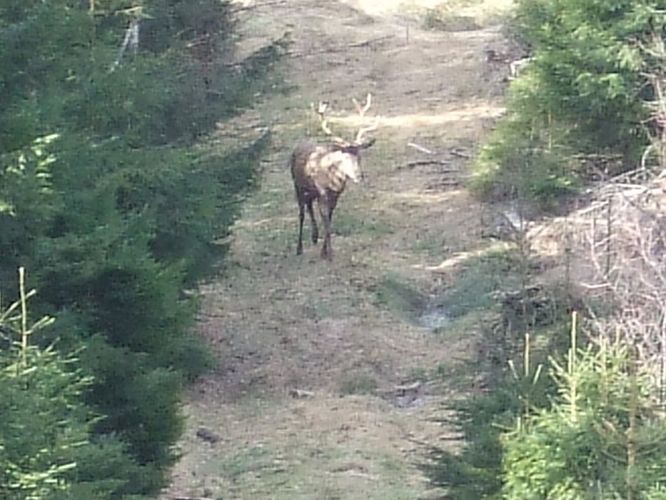
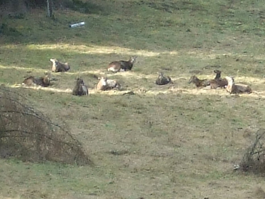
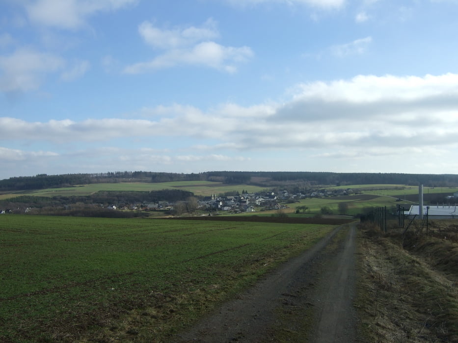
Vom Industriepark Wiebelsheim direkt hoch zum Luftekopf und über den Närrchenstein zurück. Zum Närrchenstein führt kein Forstweg, also muss hier quer durch den Wald gegangen werden. Auf dem Rückweg sind drei Bachläufe zu überqueren. Hier sind feste und wasserdichte Schuhe ein muss. Selbst im Hochsommer bekommt man hier nasse Füße. Auf der Tour konnten wir einen Hirsch, ein Rudel Muffel ca. 15 Stück und zwei Rehe beobachten. Nach meiner Erfahrung ist hier oft, mit etwas Glück Wild zu bobachten. Wer sich für die Entstehung des Narrensteins interessiert klickt bitte auf den Link.
Further information at
http://www.fahrrad-binz.de/Galeria trasy

Mapa trasy i profil wysokości
Minimum height 407 m
Maximum height 555 m
More about the tour author
|
|
Dakota_20 |
Komentarze

GPS tracks
Trackpoints-
GPX / Garmin Map Source (gpx) download
-
TCX / Garmin Training Center® (tcx) download
-
CRS / Garmin Training Center® (crs) download
-
Google Earth (kml) download
-
G7ToWin (g7t) download
-
TTQV (trk) download
-
Overlay (ovl) download
-
Fugawi (txt) download
-
Kompass (DAV) Track (tk) download
-
Karta trasy (pdf) download
-
Original file of the author (gpx) download
More about the tour author
|
|
Dakota_20 |
Add to my favorites
Remove from my favorites
Edit tags
Open track
My score
Rate