Login

Zapomniałeś swój login?

Cookies have to be accepted!
Your browser's cookie functionality is disabled. Please enable this functionality.

Not a member yet?

Register now
Login

Available for registred users only

Log in to use this feature.

Zapomniałeś swój login?

Cookies have to be accepted!
Your browser's cookie functionality is disabled. Please enable this functionality.

Not a member yet?

Register now
Filter
Kategorie
Advanced filters
  • Długość (km)
  • Wysokość
Zapisz filtr Reset filter

TrackRank

QRCode

Technical data

Długość63,6 km Wysokość1430 m Way down1433 m Czas trwania03:00 h:m Data07.02.2011
Oceny Author Krajobraz Czynnik zadowolenia Kondycja Technika

Statystyka

1021 Widoki 1 Ocena 175 Downloads / Pliki do pobrania 5.00 Przeciętnie
Rate
  • Karta trasy
  • Dojazd
  • Downloads / Pliki do pobrania

Schöne kleine Runde im Nationalpark Sächsische Schweiz
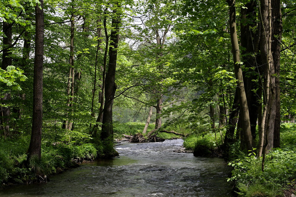
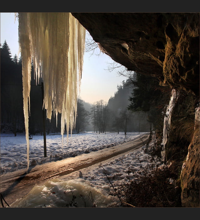
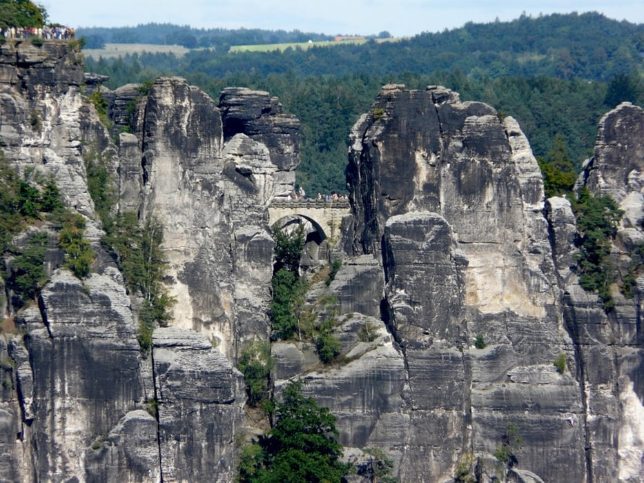
Galeria trasy

Mapa trasy i profil wysokości

  • Open Street Map
  • Google
Minimum height 92 m Maximum height 401 m Widok szczegółowy

More about the tour author

knutengel
Member since 2010

Send private message

Komentarze

BadenBiker on 07.08.2020

Höhenmeter

Die Tour führt folgt teilweise der Radroute Nationalpark, ist landschaftlich hervorragend.
Die GPS-Daten sind mangelhaft, haben viel zu viele Punkte, deswegen entstehen laut GPS-Track über 2.000 Höhenmeter.
Auch die auf dieser Seite angegebene Zahl ist viel zu hoch.
In Wirklichkeit sind es um die 1.000 Höhenmeter.
Das technische Level entspricht eher einem Stern.

GPS tracks

Trackpoints
  • GPX / Garmin Map Source (gpx) download
  • TCX / Garmin Training Center® (tcx) download
  • CRS / Garmin Training Center® (crs) download
  • Google Earth (kml) download
  • G7ToWin (g7t) download
  • TTQV (trk) download
  • Overlay (ovl) download
  • Fugawi (txt) download
  • Kompass (DAV) Track (tk) download
  • Karta trasy (pdf) download
  • Original file of the author (gpx) download

More about the tour author

knutengel
Member since 2010

Send private message
Share track
Add to my favorites
Remove from my favorites
Edit tags
My score
Rate
Trasa: Pirna Lichtenhain
Rodzaj: Rower górski (MTB)
Długość: 63,6 km
Evaluated on:
Czas trwania:
Day(s)
Hour(s)
Minute(s)
Ocena: Krajobraz Czynnik zadowolenia Kondycja Technika