Login

Zapomniałeś swój login?

Cookies have to be accepted!
Your browser's cookie functionality is disabled. Please enable this functionality.

Not a member yet?

Register now
Login

Available for registred users only

Log in to use this feature.

Zapomniałeś swój login?

Cookies have to be accepted!
Your browser's cookie functionality is disabled. Please enable this functionality.

Not a member yet?

Register now
Filter
Kategorie
Advanced filters
  • Długość (km)
  • Wysokość
Zapisz filtr Reset filter

TrackRank

QRCode

Technical data

Długość42,1 km Wysokość1148 m Way down1138 m Czas trwania04:00 h:m Data07.02.2011
Oceny Author Krajobraz Czynnik zadowolenia Kondycja Technika

Statystyka

1412 Widoki 2 Oceny 245 Downloads / Pliki do pobrania 4.50 Przeciętnie
Rate
  • Karta trasy
  • Dojazd
  • Downloads / Pliki do pobrania

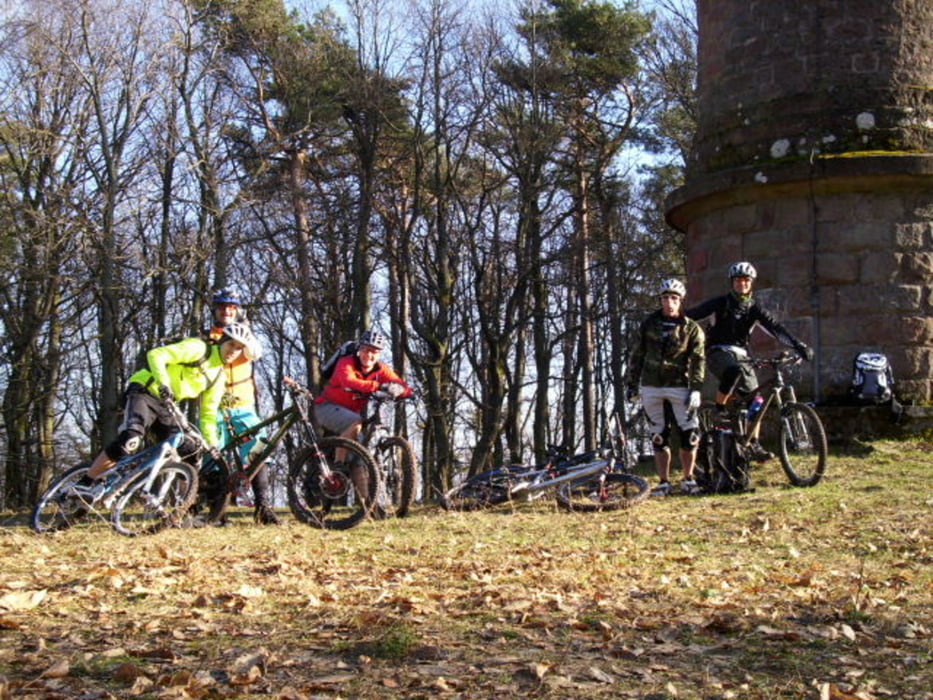
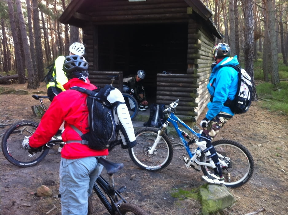
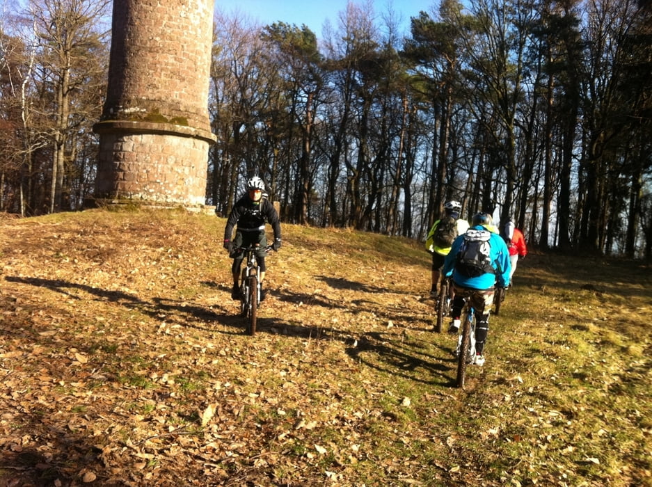
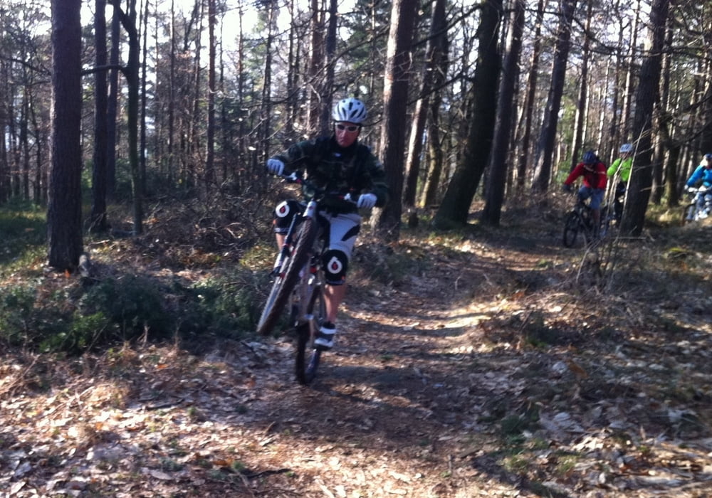
Schöne Tour zu bekannten und unbekannten Zielen in der Pfalz. Ideal um sich nach einem langen Winter wieder "Einzufahren"! Teils technische Passagen mit der einen oder anderen Möglichkeit etwas zu Springen...(-:


Viel Spaß beim Nachfahren!

Further information at

http://www.klausentalhuette.de/

Galeria trasy

Mapa trasy i profil wysokości

  • Open Street Map
  • Google
Minimum height 241 m Maximum height 622 m Widok szczegółowy

More about the tour author

votecoli
Member since 2008

Send private message

Komentarze

Schebbes on 22.08.2011

schöne Tour

Danke für diese schöne Tour. War sehr angenehm zu fahren und hatte einen ordentlichen Trailanteil. Kann man nur weiterempfehlen :)

Los gehts an der Klausentalhütte, siehe Link!

GPS tracks

Trackpoints
  • GPX / Garmin Map Source (gpx) download
  • TCX / Garmin Training Center® (tcx) download
  • CRS / Garmin Training Center® (crs) download
  • Google Earth (kml) download
  • G7ToWin (g7t) download
  • TTQV (trk) download
  • Overlay (ovl) download
  • Fugawi (txt) download
  • Kompass (DAV) Track (tk) download
  • Karta trasy (pdf) download
  • Original file of the author (gpx) download

More about the tour author

votecoli
Member since 2008

Send private message
Share track
Add to my favorites
Remove from my favorites
Edit tags
My score
Rate
Trasa: Vorglühtour Pfalz
Rodzaj: Rower górski (MTB)
Długość: 42,1 km
Evaluated on:
Czas trwania:
Day(s)
Hour(s)
Minute(s)
Ocena: Krajobraz Czynnik zadowolenia Kondycja Technika