Login

Zapomniałeś swój login?

Cookies have to be accepted!
Your browser's cookie functionality is disabled. Please enable this functionality.

Not a member yet?

Register now
Login

Available for registred users only

Log in to use this feature.

Zapomniałeś swój login?

Cookies have to be accepted!
Your browser's cookie functionality is disabled. Please enable this functionality.

Not a member yet?

Register now
Filter
Kategorie
Advanced filters
  • Długość (km)
  • Wysokość
Zapisz filtr Reset filter

TrackRank

QRCode

Technical data

Długość8,2 km Wysokość0 m Way down0 m Czas trwania03:00 h:m Data07.02.2011
Oceny Author User Krajobraz Czynnik zadowolenia Kondycja Technika

Statystyka

2080 Widoki 1 Ocena 99 Downloads / Pliki do pobrania 4.00 Przeciętnie
Rate
  • Karta trasy
  • Dojazd
  • Downloads / Pliki do pobrania
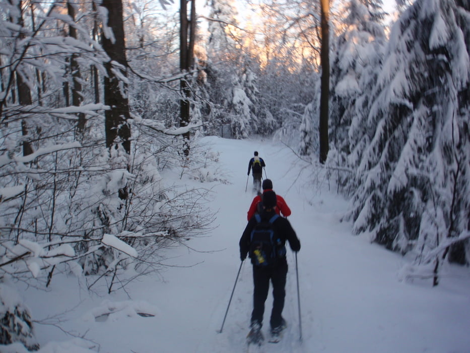
Schneeschuhtour von der Talstation am Hohen Bogen hinauf über den Wanderweg N3 zur Diensthütte. Von da an weiter den Bergkamm entlang bis zur Bergstation der Sesselbahn (Hoher Bogen). Entlang der Skipiste geht es nur noch wenige Höhenmeter bergab bis zum Berggasthof Schönblick. (gutes Essen und Übernachtungsmöglichkeiten)

Galeria trasy

Mapa trasy i profil wysokości

  • Open Street Map
  • Google
Minimum height 99999 m Maximum height -99999 m Widok szczegółowy

More about the tour author

Nature-74
Member since 2010

Send private message

Komentarze

GPS tracks

Trackpoints
  • GPX / Garmin Map Source (gpx) download
  • TCX / Garmin Training Center® (tcx) download
  • CRS / Garmin Training Center® (crs) download
  • Google Earth (kml) download
  • G7ToWin (g7t) download
  • TTQV (trk) download
  • Overlay (ovl) download
  • Fugawi (txt) download
  • Kompass (DAV) Track (tk) download
  • Karta trasy (pdf) download
  • Original file of the author (gpx) download

More about the tour author

Nature-74
Member since 2010

Send private message
Share track
Add to my favorites
Remove from my favorites
Edit tags
My score
Rate
Trasa: Hoher Bogen - Berggasthof Schönblick
Rodzaj: Rakiety śnieżne
Długość: 8,2 km
Evaluated on:
Czas trwania:
Day(s)
Hour(s)
Minute(s)
Ocena: Krajobraz Czynnik zadowolenia Kondycja Technika