


Eine kleine Tour um das Naturschutzgebiet Schaagbachtal (Maas-Schwalm-Nette und Nationalpark 'De Meinweg) kennen zu lernen. Ich bin davon überzeugt, dass man wiederkommt, da das Gebiet aus dem Großraum Düsseldorf schnell (30 bis 45 Min) zu erreichen und interessant für Wanderer, Radfahrer und Reiter ist.
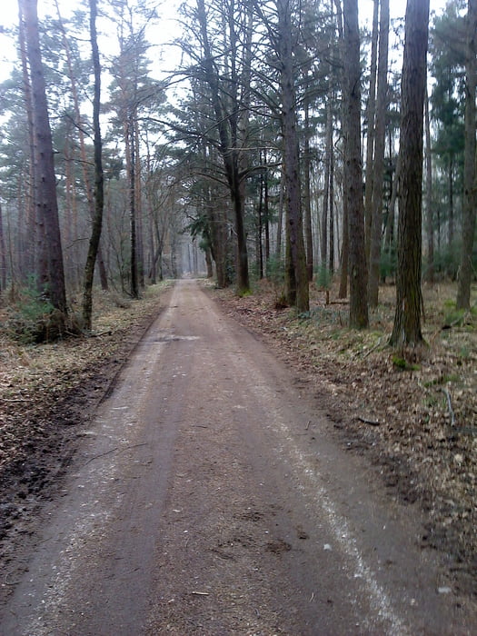
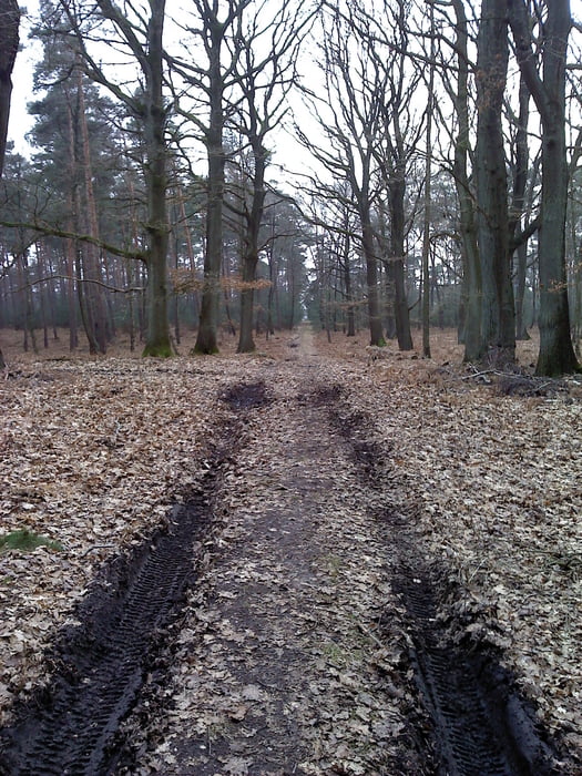
Das Gebiet ist Landschaftl. abwechslungsreich: Mischwald, Fichtenwald, im Sommer mannshoher Farn und "Sumpf"
Wichtig: Festes Schuhwerk, da ein Teil der Strecke sumpfig/unbefestigt ist. Das macht aber auch den Reiz des Gebiets aus. Ideal um eigene, weitere Touren zu entwickeln.
Wer mag kann ab Punkt 183 - N 51 08.745 E 6 10.196 -statt rechts abzubiegen, links den Weg zur Dalheimer-Mühle einschlagen (schätzungsweise 1 bis 2 km). Diese ist auch mit dem Auto zu erreichen und kann auch als Start-/Ausgangspunkt einer Tour genutzt werden.
Ausgangspunkt dieser kleinen Tour ist der Parkplatz am Friedhof in Dalheim-Rödgen
N 51°08.500 - E006°10.872
Mein Tipp die u.g. Webseite besuchen. Dies ist eine private Seite mit tollen Vorschlägen, leider ohne GPS-Daten.
Further information at
http://www.dalheim-roedgen.infoGaleria trasy

Mapa trasy i profil wysokości
Minimum height 19 m
Maximum height 126 m
More about the tour author

|
Tomwalterfrank |
Komentarze

A52 aus Richtung D-dorf/MG oder Holland bis AS Schwalmtal
N 51°08.500 - E006°10.872
GPS tracks
Trackpoints-
GPX / Garmin Map Source (gpx) download
-
TCX / Garmin Training Center® (tcx) download
-
CRS / Garmin Training Center® (crs) download
-
Google Earth (kml) download
-
G7ToWin (g7t) download
-
TTQV (trk) download
-
Overlay (ovl) download
-
Fugawi (txt) download
-
Kompass (DAV) Track (tk) download
-
Karta trasy (pdf) download
-
Original file of the author (gpx) download
More about the tour author
|
|
Tomwalterfrank |
Add to my favorites
Remove from my favorites
Edit tags
Open track
My score
Rate