


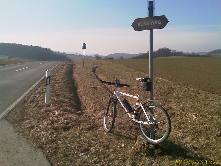
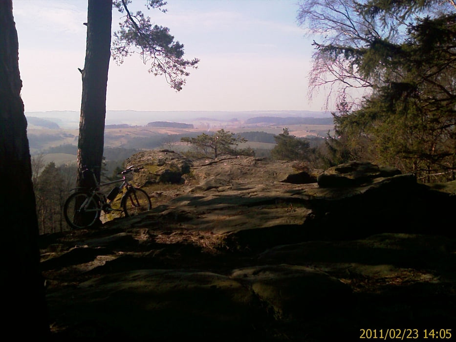
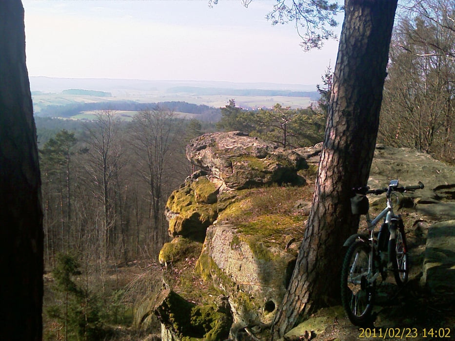
MTB Tour in die nordöstlichen Hassberge zum Veitenstein. Am östlichen Ausgang von Zeil, Richtung Bamberg durch Ziegelanger bis Steinbach in den unteren Weinbergenwegen. In Steinbach unter der B26 und Bahnschienen durch, in das Industriegebiet Eltmann. Am Main entlang bis Stettfeld, am Sportplatz vorbei hoch zum Rennweg. In nördliche Richtung bis Höhe Lussberg. In der Ortsmitte zum beschilderten Veitenstein hoch fahren. Aussicht geniessen. Richtung Gerach abfahren, nach Salmsdorf und Kirchlauter dort wieder auf den Rennsteig nach Norden bis Bischofsheim. Von da Richtung Zeil zurück.
Vorwiegend geschotterte Waldwege, Flurbereinigungswege und wenig befahrene Landstraßen. Teilweise regionale und überregionale Radwege mit Beschilderung
Galeria trasy

Mapa trasy i profil wysokości
Minimum height 239 m
Maximum height 501 m
More about the tour author
|
|
Astro |
Komentarze

Anfahrt:
Mit dem Auto (A70, Ausfahrt Knetzgau oder Eltmann, dann B26 bis nach 97475 Zeil am Main. Oder mit dem Zug, Zeil liegt ca. in der Mitte von Schweinfurt und Bamberg
GPS tracks
Trackpoints-
GPX / Garmin Map Source (gpx) download
-
TCX / Garmin Training Center® (tcx) download
-
CRS / Garmin Training Center® (crs) download
-
Google Earth (kml) download
-
G7ToWin (g7t) download
-
TTQV (trk) download
-
Overlay (ovl) download
-
Fugawi (txt) download
-
Kompass (DAV) Track (tk) download
-
Karta trasy (pdf) download
-
Original file of the author (gpx) download
More about the tour author
|
|
Astro |
Add to my favorites
Remove from my favorites
Edit tags
Open track
My score
Rate