


SULZBACHER RUNDTOUR
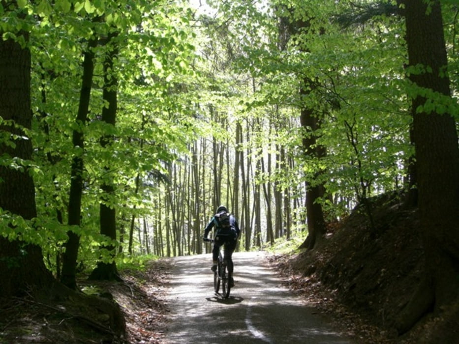
Rundtour um Sulzbach am Kocher - überwiegend auf Schotterpisten. Technisch einfach zu fahrende Runde. Teilweise mit kleinen Trailpassagen. Es warten einige steile Schotteranstiege mit zeilweise über 15% Steigung. Einige schöne Ausblicke über Sulzbach. Tip: Auf der Tour kommt man an der Weiler Bike Lodge vorbei - hier gibt es ein Giant & Garmin-Testcenter mit der Möglichkeit in Ferienwohnungen zu übernachten. Infos unter: www.modi-biking.de
Rundtour um Sulzbach am Kocher - überwiegend auf Schotterpisten. Technisch einfach zu fahrende Runde. Teilweise mit kleinen Trailpassagen. Es warten einige steile Schotteranstiege mit zeilweise über 15% Steigung. Einige schöne Ausblicke über Sulzbach. Tip: Auf der Tour kommt man an der Weiler Bike Lodge vorbei - hier gibt es ein Giant & Garmin-Testcenter mit der Möglichkeit in Ferienwohnungen zu übernachten. Infos unter: www.modi-biking.de
Further information at
http://www.modi-biking.deGaleria trasy
Mapa trasy i profil wysokości
Minimum height 332 m
Maximum height 496 m
More about the tour author
|
|
modicraft |
Komentarze

Von Aalen über die B19 nach Sulzbach. Am Ortseingang links auf Parkplatz an der Sporthalle abbiegen.
Von Schwäbisch Hall über B19 nach Sulzbach, am Ortsende rechts auf Parkplatz an der Sporthalle abbiegen.
Die Tour beginnt an der Sporthalle (Stephan-Keck-Halle) in Sulzbach am Sportgelände.
GPS tracks
Trackpoints-
GPX / Garmin Map Source (gpx) download
-
TCX / Garmin Training Center® (tcx) download
-
CRS / Garmin Training Center® (crs) download
-
Google Earth (kml) download
-
G7ToWin (g7t) download
-
TTQV (trk) download
-
Overlay (ovl) download
-
Fugawi (txt) download
-
Kompass (DAV) Track (tk) download
-
Karta trasy (pdf) download
-
Original file of the author (gpx) download
More about the tour author
|
|
modicraft |
Add to my favorites
Remove from my favorites
Edit tags
Open track
My score
Rate