Login

Zapomniałeś swój login?

Cookies have to be accepted!
Your browser's cookie functionality is disabled. Please enable this functionality.

Not a member yet?

Register now
Login

Available for registred users only

Log in to use this feature.

Zapomniałeś swój login?

Cookies have to be accepted!
Your browser's cookie functionality is disabled. Please enable this functionality.

Not a member yet?

Register now
Filter
Kategorie
Advanced filters
  • Długość (km)
  • Wysokość
Zapisz filtr Reset filter

TrackRank

QRCode

Technical data

Długość65,2 km Wysokość1338 m Way down1339 m Czas trwania00:00 h:m Data25.02.2011
Oceny Author Krajobraz Czynnik zadowolenia Kondycja Technika

Statystyka

636 Widoki Oceny 54 Downloads / Pliki do pobrania Przeciętnie
Rate
  • Karta trasy
  • Dojazd
  • Downloads / Pliki do pobrania
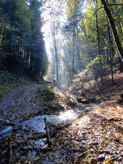
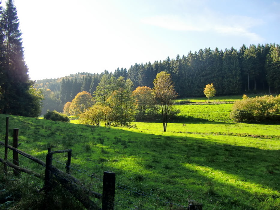
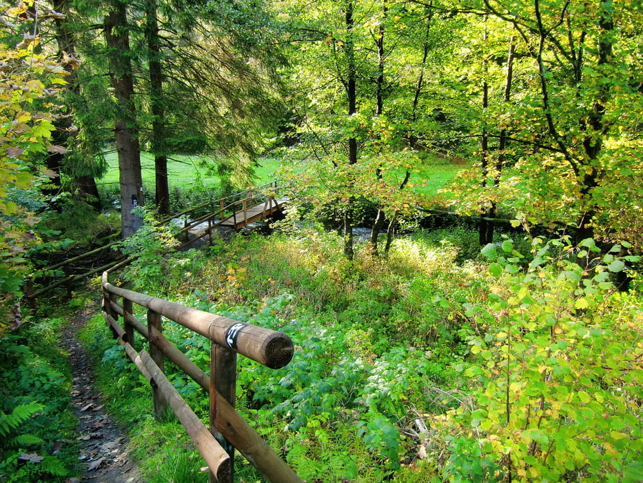
Sehr schöne Tour von Gernsdorf über den Rothaarsteig zum Jagdberg, weiter durch das unglaubliche Ilsetal nach Feudingen, wieder bergauf zur Radarstation in Erntebrück und ab zur Eisdiele. Auf dem Rückweg fahren wir durch das Edertal, vorbei an der Ederquelle, weiter zur Siegquelle. Über den Rothaarsteig bis zum Lahnhof, dann bergab nach Wertenbach. Von hier führt uns der Weg nach Helgersdorf wo wir wieder über den Berg zurück nach Gernsdorf fahren.

Galeria trasy

Mapa trasy i profil wysokości

  • Open Street Map
  • Google
Minimum height 347 m Maximum height 673 m Widok szczegółowy

More about the tour author

Rothaarsteiger
Member since 2011

Send private message

Komentarze

GPS tracks

Trackpoints
  • GPX / Garmin Map Source (gpx) download
  • TCX / Garmin Training Center® (tcx) download
  • CRS / Garmin Training Center® (crs) download
  • Google Earth (kml) download
  • G7ToWin (g7t) download
  • TTQV (trk) download
  • Overlay (ovl) download
  • Fugawi (txt) download
  • Kompass (DAV) Track (tk) download
  • Karta trasy (pdf) download
  • Original file of the author (gpx) download

More about the tour author

Rothaarsteiger
Member since 2011

Send private message
Share track
Add to my favorites
Remove from my favorites
Edit tags
My score
Rate
Trasa: Gernsdorf - Ilsetal - Erntebrück - Siegquelle - Gernsdorf
Rodzaj: Rower górski (MTB)
Długość: 65,2 km
Evaluated on:
Czas trwania:
Day(s)
Hour(s)
Minute(s)
Ocena: Krajobraz Czynnik zadowolenia Kondycja Technika