


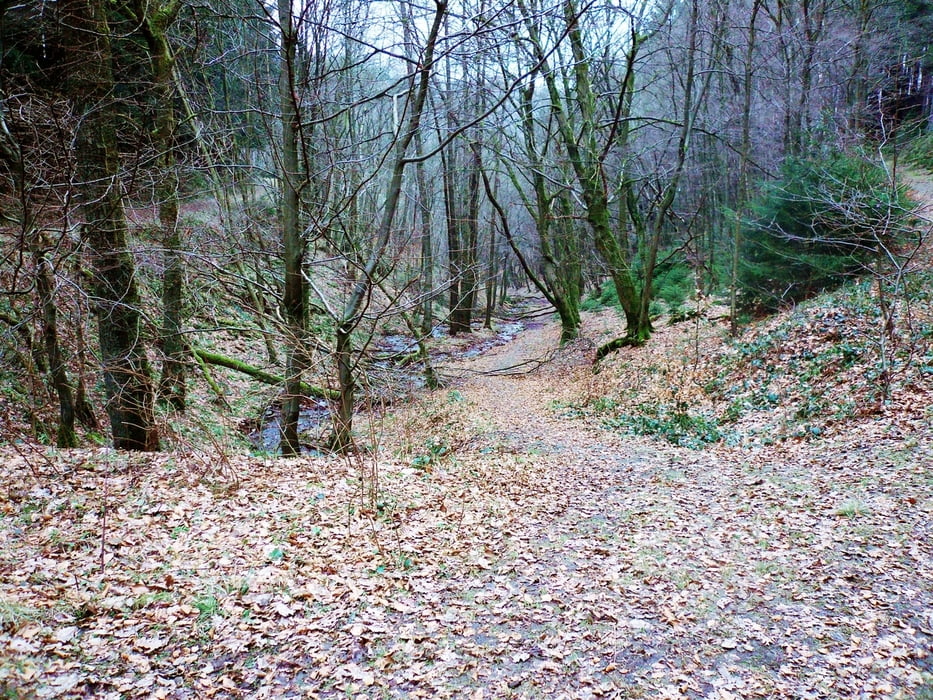
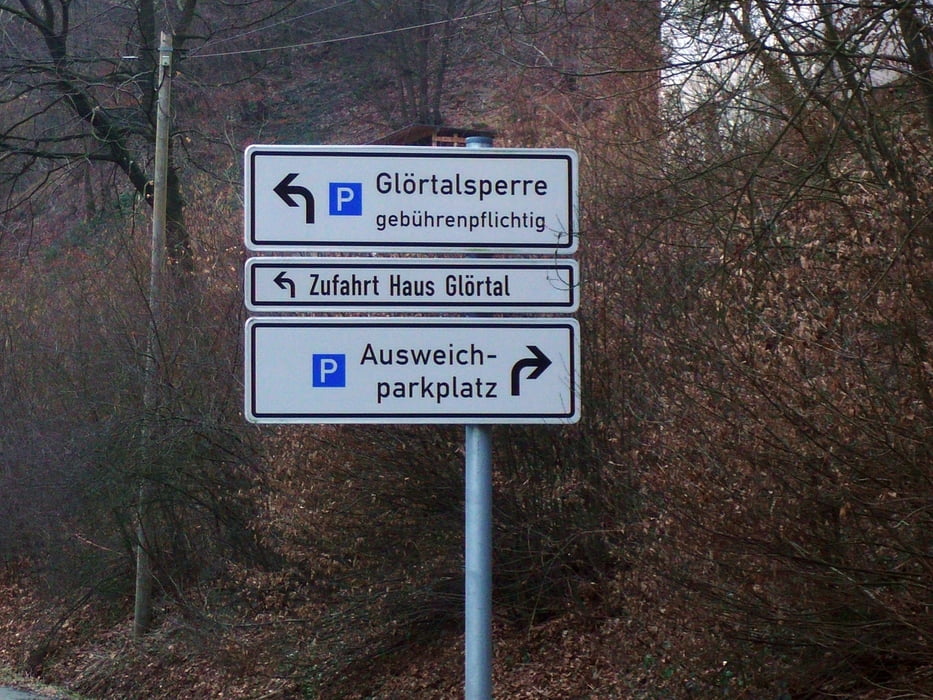
Vom Startort Halver-Falkenstraße den Radweg hinunter bis Bochen und über Heesfelder Mühle Ri. Schalksmühle. In Höhe Wanderparkplatz hinauf über den Wanderweg zum Friedhof Wippekühl und wieder runter nach Schalksmühle, weiter nach Dahlerbrück und die Glörstraße hinauf bis zum Abzweig zur Glörtalsperre, dann weiter bis dorthin mit kurzer Runde um die Sperre.
http://www.haus-gloertal.de
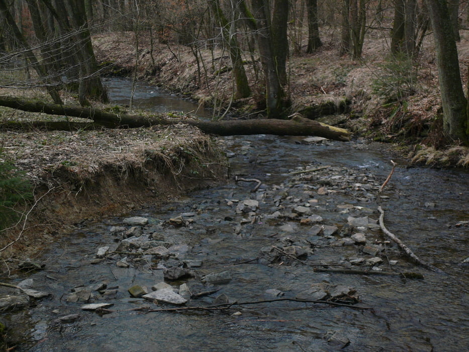
Dann Ri. Knochenmühle (S-Weg) und hinauf nach Buchholz und weiter re. Ri. Gaststätte "Krausebuche" bis zum Abzweig links in den Wald und weiter zur Stadtmitte Halver.
Galeria trasy
Mapa trasy i profil wysokości
Minimum height 204 m
Maximum height 428 m
More about the tour author
|
|
neuser |
Komentarze

Von der B 229 auf die Falkenstraße
GPS tracks
Trackpoints-
GPX / Garmin Map Source (gpx) download
-
TCX / Garmin Training Center® (tcx) download
-
CRS / Garmin Training Center® (crs) download
-
Google Earth (kml) download
-
G7ToWin (g7t) download
-
TTQV (trk) download
-
Overlay (ovl) download
-
Fugawi (txt) download
-
Kompass (DAV) Track (tk) download
-
Karta trasy (pdf) download
-
Original file of the author (gpx) download
More about the tour author
|
|
neuser |
Add to my favorites
Remove from my favorites
Edit tags
Open track
My score
Rate