Login

Zapomniałeś swój login?

Cookies have to be accepted!
Your browser's cookie functionality is disabled. Please enable this functionality.

Not a member yet?

Register now
Login

Available for registred users only

Log in to use this feature.

Zapomniałeś swój login?

Cookies have to be accepted!
Your browser's cookie functionality is disabled. Please enable this functionality.

Not a member yet?

Register now
Filter
Kategorie
Advanced filters
  • Długość (km)
  • Wysokość
Zapisz filtr Reset filter

TrackRank

QRCode

Technical data

Długość11,2 km Wysokość943 m Way down932 m Czas trwania00:00 h:m Data03.03.2011
Oceny Author Krajobraz Czynnik zadowolenia Kondycja Technika

Statystyka

726 Widoki Oceny 46 Downloads / Pliki do pobrania Przeciętnie
Rate
  • Karta trasy
  • Dojazd
  • Downloads / Pliki do pobrania

NB: ITINERARIO ESTIVO
Da S.Vigilio di Marebbe,in auto,si raggiunge il rifugio Pederù.
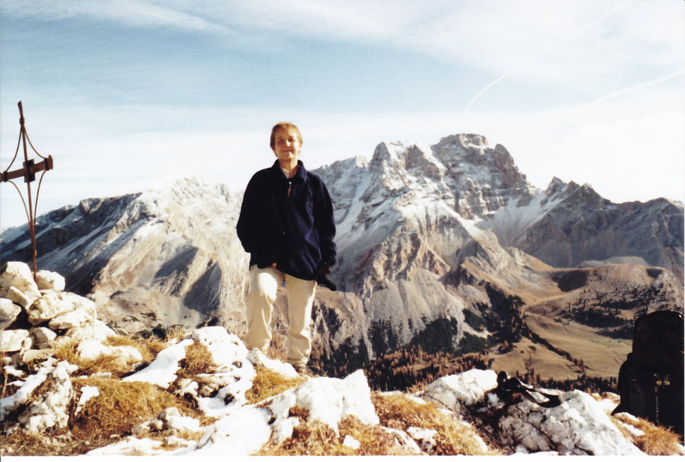
Dal rifugio Pederù a sinistra per strada sterrata ripida che,con numerosi tornanti,risale la valle arrivando sull'altopiano di Sennes.Seguendo le tabelle segnavia si raggiunge il rifugio Fodara Vedla.Si prosegue attraversando la conca e, deviando inizialmente a sinistra,si seguono le indicazioni per il Sass Dla Para puntando ad una selletta alla base della cresta est.Dalla sella si risale la facile cresta e,seguendo tracce di sentiero indicate da alcuni ometti di pietra,si arriva alla cima.

Discesa come salita

E' anche possibile tornare al rifugio Fodara Vedla seguendo la più ripida e dirupata cresta ovest (tracce di sentiero e ometti di pietra).Sconsigliata in caso di scarsa visibilità.

ELENCO WP: 1)Rifugio Pederù-2)Rifugio Fodara Vedla-3)Incrocio-4)Sass dla Para-Lavinores


Mapa trasy i profil wysokości

  • Open Street Map
  • Google
Minimum height 1540 m Maximum height 2469 m Widok szczegółowy

More about the tour author

lele47
Member since 2010

Send private message

Komentarze

GPS tracks

Trackpoints
  • GPX / Garmin Map Source (gpx) download
  • TCX / Garmin Training Center® (tcx) download
  • CRS / Garmin Training Center® (crs) download
  • Google Earth (kml) download
  • G7ToWin (g7t) download
  • TTQV (trk) download
  • Overlay (ovl) download
  • Fugawi (txt) download
  • Kompass (DAV) Track (tk) download
  • Karta trasy (pdf) download
  • Original file of the author (gpx) download

More about the tour author

lele47
Member since 2010

Send private message
Share track
Add to my favorites
Remove from my favorites
Edit tags
My score
Rate
Trasa: Sass dla para-Lavinores
Rodzaj: Wędrówki
Długość: 11,2 km
Evaluated on:
Czas trwania:
Day(s)
Hour(s)
Minute(s)
Ocena: Krajobraz Czynnik zadowolenia Kondycja Technika