Login

Zapomniałeś swój login?

Cookies have to be accepted!
Your browser's cookie functionality is disabled. Please enable this functionality.

Not a member yet?

Register now
Login

Available for registred users only

Log in to use this feature.

Zapomniałeś swój login?

Cookies have to be accepted!
Your browser's cookie functionality is disabled. Please enable this functionality.

Not a member yet?

Register now
Filter
Kategorie
Advanced filters
  • Długość (km)
  • Wysokość
Zapisz filtr Reset filter

TrackRank

QRCode

Technical data

Długość19,1 km Wysokość552 m Way down483 m Czas trwania01:30 h:m Data06.03.2011
Oceny Author Krajobraz Czynnik zadowolenia Kondycja Technika

Statystyka

415 Widoki Oceny 66 Downloads / Pliki do pobrania Przeciętnie
Rate
  • Karta trasy
  • Dojazd
  • Downloads / Pliki do pobrania

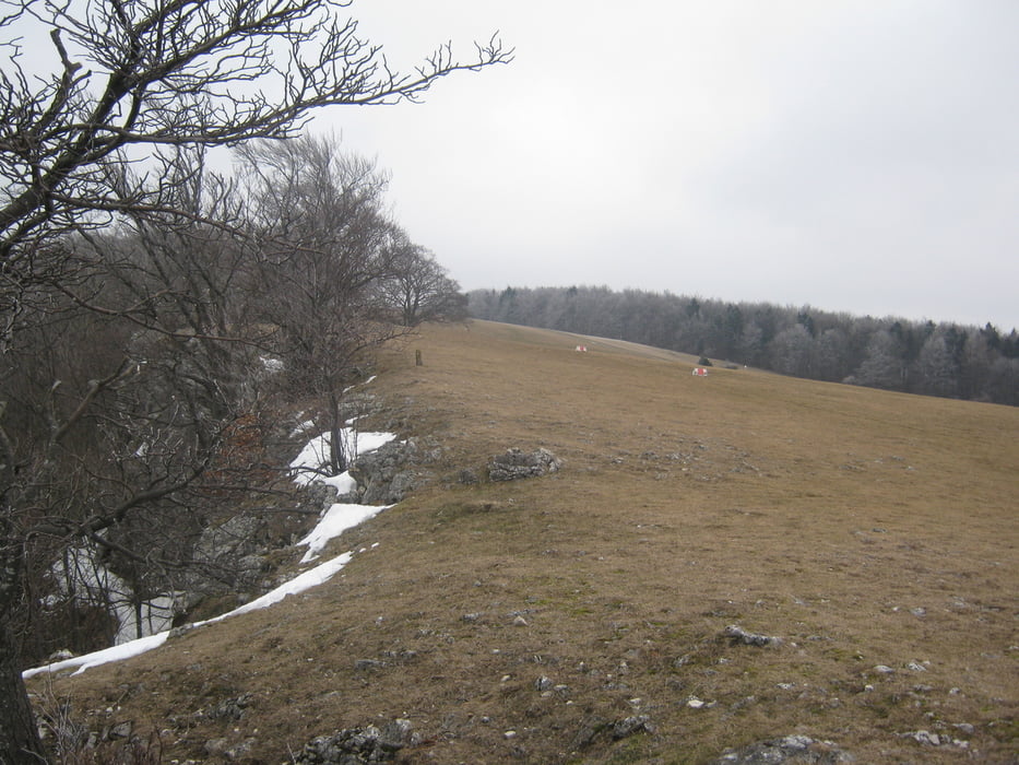
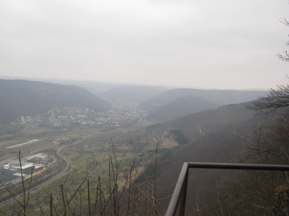
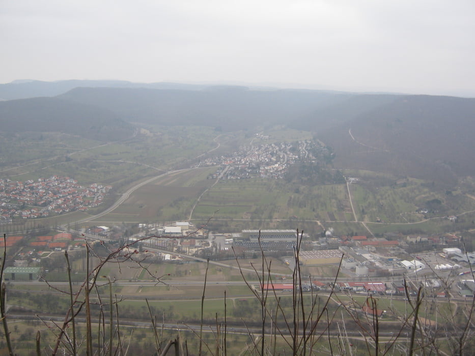
Aus der Innenstadt Metzingen geht es über die Hartsiedlung und durch den Wald den steilen Anstieg auf das Rossfeld hoch. Hier hat man eine grandiose Aussicht über das gesamte Ermstal mit zahlreichen Aussichtsfelsen.

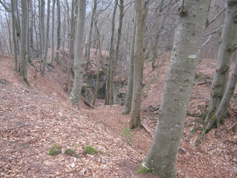
Zurück geht es durch eine anspruchsvolle (teilweise sehr schmale und steinige) Strecke durch den Wald und die Dettinger Höllenlöcher und danach wieder nach Metzingen.

Galeria trasy

Mapa trasy i profil wysokości

  • Open Street Map
  • Google
Minimum height 273 m Maximum height 797 m Widok szczegółowy

More about the tour author

habike2011
Member since 2011

Send private message

Komentarze

GPS tracks

Trackpoints
  • GPX / Garmin Map Source (gpx) download
  • TCX / Garmin Training Center® (tcx) download
  • CRS / Garmin Training Center® (crs) download
  • Google Earth (kml) download
  • G7ToWin (g7t) download
  • TTQV (trk) download
  • Overlay (ovl) download
  • Fugawi (txt) download
  • Kompass (DAV) Track (tk) download
  • Karta trasy (pdf) download
  • Original file of the author (gpx) download

More about the tour author

habike2011
Member since 2011

Send private message
Share track
Add to my favorites
Remove from my favorites
Edit tags
My score
Rate
Trasa: Rossfeld und Höllenlöcher
Rodzaj: Rower górski (MTB)
Długość: 19,1 km
Evaluated on:
Czas trwania:
Day(s)
Hour(s)
Minute(s)
Ocena: Krajobraz Czynnik zadowolenia Kondycja Technika