
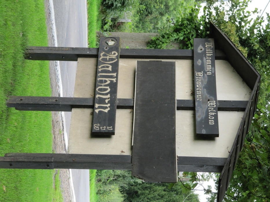

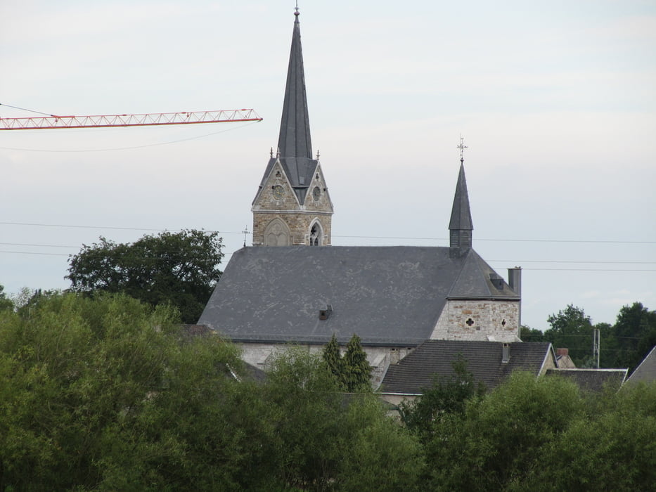
Geschichte über Walhorn
Als Königshof „Harna“ um 850 gegründet, findet der Ort erstmals in einer Bulle Lothars II. aus dem Jahr 888 Erwähnung. Im Jahr 1072 schenkte Kaiser Heinrich IV. den Königshof dem Marienstift Aachen. Aus kirchlicher Sicht legierte der Herzog von Limburg 1176 dem Abt von Kloster Rolduc (Rode) die seelsorgerische Betreuung der Pfarreien des Herzogtums. Rolduc stellte bis 1792 die Pfarrer und Priester der Gegend. Walhorn war bis 1695 Mutterpfarre umliegender Orte, wie Lontzen, Raeren, Kettenis oder Eynatten. Bis 1795 war Walhorn eine der fünf Hochbanken (Verwaltungs- und Gerichtsbezirke) im Herzogtum Limburg.
Der aus Walhorn gebürtige Nicolaus Wilhelm Beckers war Leibarzt von Kaiser Leopold I. und wurde von diesem geadelt.
Drei Walhorner waren Äbte von Kloster Rolduc, so Winand Lambertz (1617-1664), Abt ab 1650, Nicolaus Heyendal aus Astenet, war Prior ab 1706 und Abt von 1712 bis 1731, ebenfalls sein Neffe Johann Joseph Haeghen, (1699-1781) Abt ab 1757. In ihrer Funktion als Äbte von Rolduc waren auch sie Mitglied des „Hohen Rates“ des Herzogtums Limburg. Vorfahren und Familienmitglieder der drei genannten, waren Drossarde, Schöffen und Gerichtsschreiber innerhalb der Hochbank Walhorn oder des Herzogtums.
Galeria trasy
Mapa trasy i profil wysokości
Minimum height 250 m
Maximum height 309 m
More about the tour author
|
|
stonewalker |
Komentarze

GPS tracks
Trackpoints-
GPX / Garmin Map Source (gpx) download
-
TCX / Garmin Training Center® (tcx) download
-
CRS / Garmin Training Center® (crs) download
-
Google Earth (kml) download
-
G7ToWin (g7t) download
-
TTQV (trk) download
-
Overlay (ovl) download
-
Fugawi (txt) download
-
Kompass (DAV) Track (tk) download
-
Karta trasy (pdf) download
-
Original file of the author (gpx) download
More about the tour author
|
|
stonewalker |
Add to my favorites
Remove from my favorites
Edit tags
Open track
My score
Rate