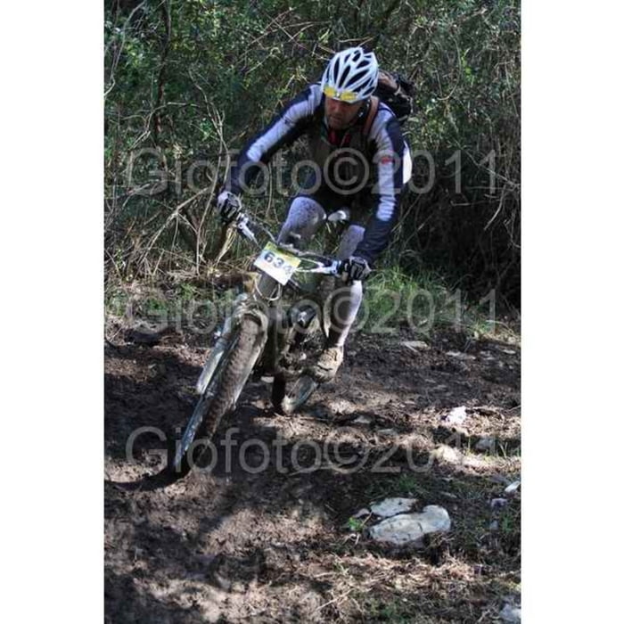
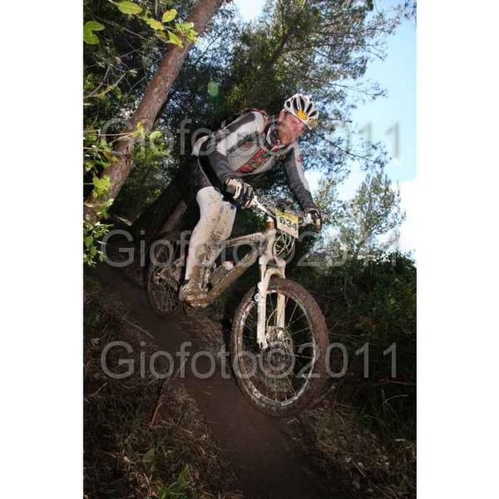
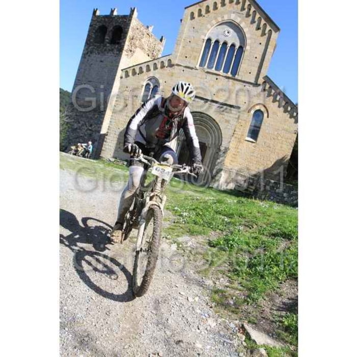
Login

Zapomniałeś swój login?

Cookies have to be accepted!
Your browser's cookie functionality is disabled. Please enable this functionality.

Not a member yet?

Register now
Login

Available for registred users only

Log in to use this feature.

Zapomniałeś swój login?

Cookies have to be accepted!
Your browser's cookie functionality is disabled. Please enable this functionality.

Not a member yet?

Register now
Filter
Kategorie
Advanced filters
  • Długość (km)
  • Wysokość
Zapisz filtr Reset filter

TrackRank

QRCode

Technical data

Długość35,7 km Wysokość1072 m Way down1071 m Czas trwania00:00 h:m Data21.03.2011
Oceny Author Krajobraz Czynnik zadowolenia Kondycja Technika

Statystyka

1844 Widoki Oceny 247 Downloads / Pliki do pobrania Przeciętnie
Rate
  • Karta trasy
  • Dojazd
  • Downloads / Pliki do pobrania

Galeria trasy

Mapa trasy i profil wysokości

  • Open Street Map
  • Google
Minimum height 4 m Maximum height 347 m Widok szczegółowy

More about the tour author

Danielsan
Member since 2010

Send private message

Komentarze

GuenterM on 07.06.2011

Zaun im Bungalow-Park

Direkt oberhalb der Autobahntankstelle, nach etwa 10km, ist leider ein Zaun an dem ich nicht vorbeikam. War dann in einer Art Bungalow-Park. Aus dem kam ich nur mit Hilfe eines freundlichen Bewohners der das Tor aufschloss. Der Zaun wurde wohl erst nach dem Rennen gebaut.
Attentione: che un siepe dopo ca. 10km! Dopo il trail si chiama "Enduro"
Tanti saluti

GPS tracks

Trackpoints
  • GPX / Garmin Map Source (gpx) download
  • TCX / Garmin Training Center® (tcx) download
  • CRS / Garmin Training Center® (crs) download
  • Google Earth (kml) download
  • G7ToWin (g7t) download
  • TTQV (trk) download
  • Overlay (ovl) download
  • Fugawi (txt) download
  • Kompass (DAV) Track (tk) download
  • Karta trasy (pdf) download
  • Original file of the author (gpx) download

More about the tour author

Danielsan
Member since 2010

Send private message
Share track
Add to my favorites
Remove from my favorites
Edit tags
My score
Rate
Trasa: MTB Classic Mirko Celestino Andora
Rodzaj: Rower górski (MTB)
Długość: 35,7 km
Evaluated on:
Czas trwania:
Day(s)
Hour(s)
Minute(s)
Ocena: Krajobraz Czynnik zadowolenia Kondycja Technika