


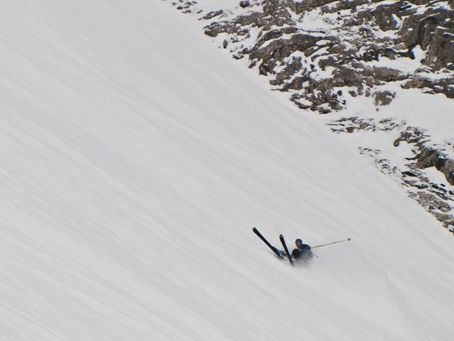
Bietet zwar keinen Gipfel aber eine rasante Abfahrt durch ein steiles Nordkar. Nur für sichere Verhältnisse bei gutes Schneelage da felsiger Untergrund.
Aufstieg:
Nach Süden auf dem Forstweg ins Bärgunttal. Bei der Äußeren Widdersteinalpe den Forstweg nach link leicht bergauf verlassen und dem Hochweg (Schild Tourengeher) zur Inneren Widdersteinalpe. Dem Bachlauf auf der linken Talseite Richtung Südosten folgen bis das schattige Nordkar herunterzieht. Über das Kar empor und am oberen Ende von links nach rechts in das Karlstor, der Scharte zwischen Großem und Kleinem Widderstein, queren.
Abfahrt:
wie Aufstieg oder nach Osten ins Gemsteltal.
Further information at
http://www.baergunthuette.deGaleria trasy


Mapa trasy i profil wysokości
Minimum height 1250 m
Maximum height 2204 m
More about the tour author

|
bikewilder |
Komentarze

Über Oberstdorf ins Kleinwalsertal nach Baad. Gebührenpflichtiger Parkplatz beim Kreisverkehr am Ortseingang.
GPS tracks
Trackpoints-
GPX / Garmin Map Source (gpx) download
-
TCX / Garmin Training Center® (tcx) download
-
CRS / Garmin Training Center® (crs) download
-
Google Earth (kml) download
-
G7ToWin (g7t) download
-
TTQV (trk) download
-
Overlay (ovl) download
-
Fugawi (txt) download
-
Kompass (DAV) Track (tk) download
-
Karta trasy (pdf) download
-
Original file of the author (gpx) download
More about the tour author
|
|
bikewilder |
Add to my favorites
Remove from my favorites
Edit tags
Open track
My score
Rate